Cashtown, Pennsylvania
Cashtown, Pennsylvania | |
|---|---|
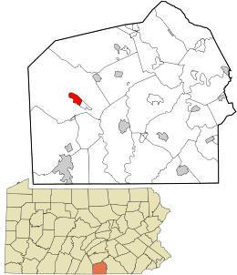 Location in Adams County and the U.S. state of Pennsylvania. | |
| Coordinates: 39°53′2″N 77°21′31″W / 39.88389°N 77.35861°WCoordinates: 39°53′2″N 77°21′31″W / 39.88389°N 77.35861°W | |
| Country | United States |
| State | Pennsylvania |
| County | Adams |
| Township | Franklin |
| Area | |
| • Total | 1.51 sq mi (3.92 km2) |
| • Land | 1.50 sq mi (3.89 km2) |
| • Water | 0.01 sq mi (0.03 km2) |
| Elevation | 746 ft (227 m) |
| Population (2010) | |
| • Total | 459 |
| • Density | 305/sq mi (117.9/km2) |
| Time zone | UTC-5 (Eastern (EST)) |
| • Summer (DST) | UTC-4 (EDT) |
| ZIP codes | 17310 |
| FIPS code | 42-11576 |
| GNIS feature ID | 1171306 |

Cashtown is a census-designated place in Franklin Township, Adams County, Pennsylvania, United States. The community was part of the Cashtown-McKnightstown CDP, until it was split into two separate CDPs for the 2010 census. As of 2010, the population of Cashtown was 459.[1]
A post office called Cashtown has been in operation since 1833.[2] According to tradition, the community was named for the fact a local tavern owner required that payment be made in cash.[3]
Geography[]
Cashtown is located west of Gettysburg in western Adams County. U.S. Route 30 bypasses the center of the community and forms the northern edge of the CDP. Old U.S. 30, the original Lincoln Highway, is the main street of Cashtown. McKnightstown is 1.5 miles (2.4 km) to the east.
Notable people[]
- Nellie V. Mark (1857–1935), physician, suffragist
References[]
- ^ "Geographic Identifiers: 2010 Demographic Profile Data (G001): Cashtown CDP, Pennsylvania". U.S. Census Bureau, American Factfinder. Archived from the original on February 12, 2020. Retrieved July 19, 2013.
- ^ "Post Offices". Jim Forte Postal History. Retrieved 5 January 2017.
- ^ Moyer, Armond; Moyer, Winifred (1958). The origins of unusual place-names. Keystone Pub. Associates. p. 20.
External links[]
Municipalities and communities of Adams County, Pennsylvania, United States | ||
|---|---|---|
| Boroughs |  | |
| Townships | ||
| CDPs | ||
| Unincorporated communities | ||
| Ghost town | ||
| ||
Categories:
- Census-designated places in Adams County, Pennsylvania
- Census-designated places in Pennsylvania