Chure Rural Municipality
Chure Rural Municipality
चुरे गाँउपालिका | |
|---|---|
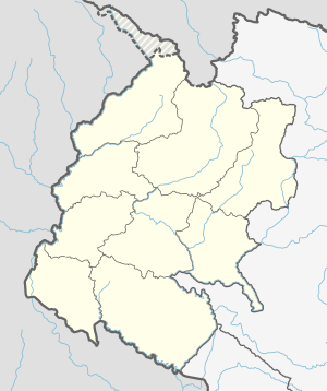 Chure Rural Municipality Location in Nepal | |
| Coordinates: 28°56′N 80°35′E / 28.94°N 80.58°ECoordinates: 28°56′N 80°35′E / 28.94°N 80.58°E | |
| Country | |
| Province | Sudurpashchim Province |
| District | Kailali District |
| Government | |
| • Chairman | Dhan Bahadur Rokka Magar(NCP) |
| • Vice Chairman | Deepa Devi Saud (NCP) |
| Area | |
| • Total | 493 km2 (190 sq mi) |
| Population (2011) | |
| • Total | 19,157 |
| • Density | 39/km2 (100/sq mi) |
| Time zone | UTC+5:45 (NST) |
| Post code | 10900 |
| Area code(s) | 091 |
| Website | [1] |


Chure Rural Municipality (Nepali: चुरे गाउँपालिका) is a Gaunpalika in Kailali District in Sudurpashchim Province of Nepal. On 12 March 2017, the government of Nepal implemented a new local administrative structure in which Village Development Committees have been replaced with Municipal and Village Councils. Chure is one of these 753 local units.[1][2]
References[]
- ^ "चुरे गाउँपालिका | गाउँ कार्यपालिकाको कार्यालय घरखेडा, कैलाली, सुदुरपश्चिम प्रदेश, नेपाल". churemun.gov.np. Retrieved 2020-07-09.
- ^ "Chure (Rural Municipality, Nepal) - Population Statistics, Charts, Map and Location". www.citypopulation.de. Retrieved 2020-07-09.
Headquarters: Dhangadhi | ||
| Sub-metropolitan cities | 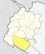 | |
| Municipalities | ||
| Rural municipalities | ||
| Former VDCs | ||
List of municipalities and rural municipalities of Nepal | ||
This article about a location in the Kailali District of Nepal is a stub. You can help Wikipedia by . |
Categories:
- Rural municipalities in Kailali District
- Rural municipalities of Nepal established in 2017
- Sudurpashchim Province geography stubs