Joshipur Rural Municipality
Joshipur Rural Municipality
जोशीपुर गाउँपालिका | |
|---|---|
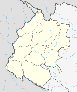 Joshipur Rural Municipality Location in Nepal | |
| Coordinates: 28°34′03″N 81°00′53″E / 28.5674°N 81.0147°ECoordinates: 28°34′03″N 81°00′53″E / 28.5674°N 81.0147°E | |
| Country | |
| Province | Sudurpashchim Province |
| District | Kailali District |
| Government | |
| • Chairman | Ram Krishna Chaudhary ( Nepali Congress |
| • Vice-Chairman | Gita Kathariya ( Nepali Congress |
| Area | |
| • Total | 65.6 km2 (25.3 sq mi) |
| Population (2011) | |
| • Total | 36,459 |
| • Density | 560/km2 (1,400/sq mi) |
| Time zone | UTC+5:45 (NST) |
| Post code | 10900 |
| Area code(s) | 091 |
| Website | http://joshipurmun.gov.np |


Joshipur is Rural Municipality in Kailali District of Sudurpashchim Province established by merging and Joshipur two existing village development committees.[1] Joshipur lies 75 km east of Dhangadhi and 61 3 km west of the capital, Kathmandu. It is surrounded by Lamki Chuha Municipality , Tikapur Municipality and Janaki Rural Municipality in the East , Ghodaghodi Municipality and Bhajani Municipality in the West , Bardagoriya Rural Municipality in the North and Bhajani Municipality in the South .
Temples[]
- Ram Janaki Mandir, Jabahi
- Shree Someswarnath Mandir, Badhariya
- Shree Baneshwar baba sibha Mandir Dham, Bani
See also[]
- Sudurpashchim Province
- Kailali District
- Lamki Chuha Municipality
References[]
- ^ "Nepal Census 2001". Nepal's Village Development Committees. Digital Himalaya. Archived from the original on 12 October 2008. Retrieved 15 November 2009..
External links[]
Headquarters: Dhangadhi | ||
| Sub-metropolitan cities | 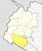 | |
| Municipalities | ||
| Rural municipalities | ||
| Former VDCs | ||
List of municipalities and rural municipalities of Nepal | ||
This article about a location in the Kailali District of Nepal is a stub. You can help Wikipedia by . |
Categories:
- Populated places in Kailali District
- Rural municipalities in Kailali District
- Rural municipalities of Nepal established in 2017
- Sudurpashchim Province geography stubs