Dennis, Kansas
Dennis, Kansas | |
|---|---|
 | |
 Dennis | |
| Coordinates: 37°20′49″N 95°24′46″W / 37.34694°N 95.41278°WCoordinates: 37°20′49″N 95°24′46″W / 37.34694°N 95.41278°W | |
| Country | United States |
| State | Kansas |
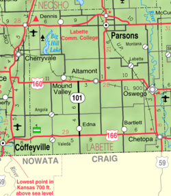
| County | Labette |
| Founded | 1880s |
| Time zone | UTC-6 (CST) |
| • Summer (DST) | UTC-5 (CDT) |
| Area code | 620 |


Dennis is an unincorporated community in Labette County, Kansas, United States.
History[]
Dennis had its start in the early 1880s by the building of the Memphis, Kansas and Colorado Railroad through that territory.[1] The first post office in Dennis was established in May 1881.[2]
The nearby Big Hill Archeological District is on the National Register of Historic Places.
Demographics[]
For statistical purposes, the United States Census Bureau has defined this community as a census-designated place (CDP).
Education[]
The community is served by Labette County USD 506 public school district.
See also[]
References[]
- ^ Blackmar, Frank Wilson (1912). Kansas: A Cyclopedia of State History, Embracing Events, Institutions, Industries, Counties, Cities, Towns, Prominent Persons, Etc. Standard Publishing Company. pp. 508.
- ^ "Kansas Post Offices, 1828-1961". Kansas Historical Society. Retrieved 12 June 2014.
Further reading[]
External links[]
Municipalities and communities of Labette County, Kansas, United States | ||
|---|---|---|
| Cities |  | |
| Unincorporated communities | ||
| Townships | ||
| Footnotes | †This populated place is designated a Census-Designated Place (CDP) by the United States Census Bureau. | |
| ||
Categories:
- Unincorporated communities in Labette County, Kansas
- Unincorporated communities in Kansas
- 1881 establishments in Kansas
- Populated places established in 1881
- Southeast Kansas geography stubs