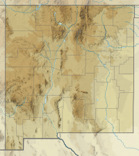
Eagle Peak (New Mexico)
| Eagle Peak | |
|---|---|
 Eagle Peak | |
| Highest point | |
| Elevation | 9,801 ft (2,987 m) NAVD 88[1] |
| Prominence | 2,266 ft (691 m)[2] |
| Coordinates | 33°40′37″N 108°34′37″W / 33.676918003°N 108.576982264°WCoordinates: 33°40′37″N 108°34′37″W / 33.676918003°N 108.576982264°W[1] |
| Geography | |
| Location | Catron County, New Mexico, U.S. |
| Parent range | Tularosa Mountains |
| Topo map | USGS Eagle Peak |
Eagle Peak is a mountain in Catron County, western New Mexico, United States, near the town of Reserve. The summit is the highest point in the Tularosa Mountains.
References[]
- ^ a b "Eagle Peak ET". NGS data sheet. U.S. National Geodetic Survey. Retrieved 2011-05-14.
- ^ "Eagle Peak, New Mexico". Peakbagger.com. Retrieved 2011-05-14.
External links[]
- "Tularosa Mountains". SummitPost.org. Retrieved 2011-05-14.
Categories:
- Landforms of Catron County, New Mexico
- Mountains of New Mexico
- Mountains of Catron County, New Mexico
- New Mexico geography stubs
