Haystack Mountain (New Mexico)
| Haystack Mountain | |
|---|---|
 Haystack Mountain | |
| Highest point | |
| Elevation | 7,833 ft (2,387 m)[1] |
| Prominence | 900 feet (270 m) |
| Coordinates | 35°21′19″N 107°56′51″W / 35.3553091°N 107.9475609°WCoordinates: 35°21′19″N 107°56′51″W / 35.3553091°N 107.9475609°W |
| Geography | |
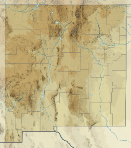
| Location | McKinley County, New Mexico, U.S. |
| Parent range | Zuni Mountains, part of the Colorado Plateau |
| Topo map | USGS Bluewater, NM |
| Climbing | |
| Easiest route | Drive |
Haystack Mountain is a mesa approximately 4 miles (6 km) east of Prewitt in McKinley County, New Mexico, United States.
Geography[]
Haystack Mountain is a lone peak in the Zuni Mountains range in the southeast part of the Colorado Plateau and is clearly visible from nearby Interstate 40. There is a Vertical Angle Benchmark from the National Geodetic Survey which marks the top of the mesa at 7,833 feet (2,387 m).
History[]
From 1950 to 1980, this area was one of the highest uranium producing regions in the country.[2]
The Haystack Archaeological District[3] is a protected area on the side of the mesa which is on the National Register of Historic Places as an Anasazi dwelling from 500–1500 AD.
References[]
- ^ Mountainzone
- ^ "Uranium Resources in New Mexico". Retrieved 13 November 2017.
- ^ "Haystack Arch Dist". Retrieved 13 November 2017.
External links[]
Categories:
- Mountains of New Mexico
- Mountains of McKinley County, New Mexico