Jicarilla Mountains
| Jicarilla Mountains | |
|---|---|
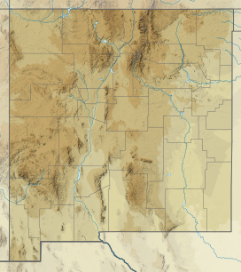
 Location in New Mexico | |
| Highest point | |
| Peak | |
| Elevation | 2,385 m (7,825 ft) |
| Coordinates | 33°51′09″N 105°39′50″W / 33.85250°N 105.66389°W |
| Geography | |
| Location | Lincoln County, New Mexico |
| Range coordinates | 33°52′N 105°40′W / 33.867°N 105.667°WCoordinates: 33°52′N 105°40′W / 33.867°N 105.667°W |
The Jicarilla Mountains are a mountain range in Lincoln County, New Mexico[1] in the southwestern United States. The Jicarilla Mountains were named after the Jicarilla Apache Nation. The Sacramento Mountains lie to the southwest.[2]
In 1850 the first gold seekers began to arrive to the Jicarilla Mountains, but it would take time before the first mines were established. Jicarilla and White Oaks are two towns that were abandoned when the mines were no longer profitable in the early 1900s.
The range was also called the Sacramento Mountains.[1]
References[]
- ^ a b U.S. Geological Survey Geographic Names Information System: Jicarilla Mountains
- ^ Carizozo, NM, 1:100,000 Scale Topographic Map, USGS, 1981
- Julyan, Robert (2006). The Mountains of New Mexico. Albuquerque: University of New Mexico Press. ISBN 978-0-8263-3515-9
Categories:
- Mountain ranges of New Mexico
- Mountain ranges of Lincoln County, New Mexico
- New Mexico geography stubs
