East Carleton
| East Carleton | |
|---|---|
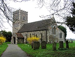 St Mary, East Carleton | |
 East Carleton Location within Norfolk | |
| Area | 4.96 km2 (1.92 sq mi) |
| Population | 343 |
| • Density | 69/km2 (180/sq mi) |
| OS grid reference | TG176020 |
| Civil parish |
|
| District | |
| Shire county | |
| Region | |
| Country | England |
| Sovereign state | United Kingdom |
| Post town | NORWICH |
| Postcode district | NR14 |
| Police | Norfolk |
| Fire | Norfolk |
| Ambulance | East of England |

East Carleton is a civil parish in the English county of Norfolk. It covers an area of 4.96 km2 (1.92 sq mi) and had a population of 358 in 115 households at the 2001 census,[1] the population falling to 343 at the 2011 census.[2] For the purposes of local government, it falls within the district of South Norfolk.
Notes[]
- ^ "East Carleton parish information". South Norfolk Council. 29 March 2007. Archived from the original on 7 October 2008. Retrieved 20 June 2009.
- ^ "Civil Parish population 2011". Retrieved 8 September 2015.
External links[]
![]() Media related to East Carleton at Wikimedia Commons
Media related to East Carleton at Wikimedia Commons
| show Authority control |
|---|
This Norfolk location article is a stub. You can help Wikipedia by . |
Categories:
- South Norfolk
- Villages in Norfolk
- Civil parishes in Norfolk
- Norfolk geography stubs