El Chicó
This article may be expanded with text translated from the corresponding article in Spanish. (November 2010) Click [show] for important translation instructions.
|
El Chicó | |
|---|---|
Barrio | |
 Monument of Amerigo Vespucci on carrera 7 | |
| Etymology: Muysccubun: chicú; "our ally" | |
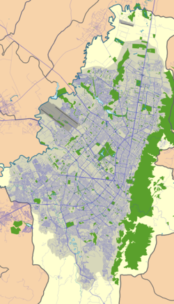 El Chicó Location in Bogotá | |
| Coordinates: 4°40′43.6″N 74°02′43.2″W / 4.678778°N 74.045333°WCoordinates: 4°40′43.6″N 74°02′43.2″W / 4.678778°N 74.045333°W | |
| Country | |
| Department | |
| City | Bogotá |
| Locality | Chapinero |
| Elevation | 2,564 m (8,412 ft) |


Museo el Chicó
El Chicó is an affluent neighbourhood (barrio) in the locality of Chapinero in Bogotá, Colombia.
Limits[]
- North: Calle 100
- East: Eastern Hills
- West: Autopista Norte
- South: Calle 88
Etymology[]
The name chicó is derived from the Chibcha word chicú which means "our ally".[2]
Tourism[]
El Chicó is home to the Parque de la 93, a park and restaurant area. It also hosts Museo el Chicó.
References[]
- ^ Google Maps Elevation Finder
- ^ (in Spanish) Etymology El Chicó
This Colombian location article is a stub. You can help Wikipedia by . |
Categories:
- Neighbourhoods of Bogotá
- Muisca Confederation
- Muysccubun
- Colombia geography stubs