Franchère Peak
| Franchère Peak | |
|---|---|
 Franchère Peak (centered) seen from Cavell Meadows | |
| Highest point | |
| Elevation | 2,805 m (9,203 ft)[1] |
| Prominence | 345 m (1,132 ft)[1] |
| Parent peak | Aquila Mountain 2840 m[1] |
| Listing | Mountains of Alberta |
| Coordinates | 52°43′01″N 118°06′00″W / 52.71694°N 118.10000°WCoordinates: 52°43′01″N 118°06′00″W / 52.71694°N 118.10000°W[2] |
| Geography | |
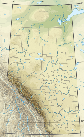 Franchère Peak Location of Franchère Peak in Alberta | |
| Location | Alberta, Canada |
| Parent range | Canadian Rockies |
| Topo map | NTS 83D9 |

Franchère Peak is a 2,805-metre (9,203-foot) mountain summit located in the Astoria River valley of Jasper National Park, in the Canadian Rockies of Alberta, Canada. The mountain was named in 1917 for Gabriel Franchère (1786–1863), a French Canadian author and explorer of the Pacific Northwest who wrote the first account of an 1814 journey over Athabasca Pass.[3][4] Franchère was a member of John Jacob Astor's Pacific Fur Company and sailed to Fort Astoria on the Tonquin, after which the nearby Tonquin Valley was named.[1] The mountain's name was officially adopted on March 5, 1935 when approved by the Geographical Names Board of Canada.[2] Its nearest higher peak is Aquila Mountain, 2.00 km (1.24 mi) to the north.[1] Mount Edith Cavell is situated immediately south-southeast across the Astoria River valley.
Climate[]

Based on the Köppen climate classification, Franchère Peak is located in a subarctic climate zone with cold, snowy winters, and mild summers.[5] Temperatures can drop below -20 °C with wind chill factors below -30 °C. Precipitation runoff from Franchère Peak drains into Portal Creek and Astoria River which are both tributaries of the Athabasca River.
Geology[]
The mountain is composed of sedimentary rock laid down during the Precambrian to Jurassic periods and pushed east and over the top of younger rock during the Laramide orogeny.[6]
See also[]
References[]
- ^ a b c d e "Franchere Peak". Bivouac.com. Retrieved 2019-02-12.
- ^ a b "Franchère Peak". Geographical Names Data Base. Natural Resources Canada. Retrieved 2019-02-13.
- ^ Place-names of Alberta. Ottawa: Geographic Board of Canada. 1928. p. 54.
- ^ "Franchere Peak". PeakFinder.com. Retrieved 2021-01-03.
- ^ Peel, M. C.; Finlayson, B. L.; McMahon, T. A. (2007). "Updated world map of the Köppen−Geiger climate classification". Hydrol. Earth Syst. Sci. 11: 1633–1644. ISSN 1027-5606.
- ^ Gadd, Ben (2008), Geology of the Rocky Mountains and Columbias
External links[]
- Parks Canada web site: Jasper National Park
- Gabriel Franchère from the Dictionary of Canadian Biography
Places adjacent to Franchère Peak | ||||||||||||||||
|---|---|---|---|---|---|---|---|---|---|---|---|---|---|---|---|---|
| ||||||||||||||||
- Two-thousanders of Alberta
- Mountains of Jasper National Park
- Canadian Rockies
- Alberta's Rockies