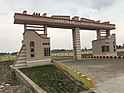
Ghoriwala
Ghoriwala
غوري والا غوریوالہ | |
|---|---|
Town and union council | |
| Ghoriwala | |
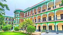 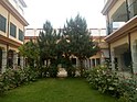 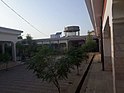 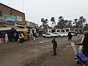   Top left to right: , , , , , and . | |
 Ghoriwala | |
| Coordinates: 32°54′20″N 70°43′40″E / 32.90556°N 70.72778°ECoordinates: 32°54′20″N 70°43′40″E / 32.90556°N 70.72778°E | |
| Country | Pakistan |
| Region | Khyber-Pakhtunkhwa |
| District | Bannu District |
| Tehsil | Bannu |
| Named for | Sultan Muhammad Ghori |
| Government | |
| • Type | Union Council |
| • Nazim | Umar Khayyam Khan |
| Elevation | 295 m (968 ft) |
| Population | |
| • Total | 21,871 |
| Time zone | UTC+5 (PST) |
| Postal Code of Pakistan | 28330 |
| Area code(s) | 928 |


Ghoriwala (Urdu:غوریوالہ, Pashto: غوري والا) is a town and union council in Bannu District of Khyber-Pakhtunkhwa.[1] It is located at 32°54'20N 70°43'40E and has an altitude of 295 meters (968 feet).[2] Its history and name is sometimes linked with the famous Muslim King Sultan Muhammad Ghori.
References[]
This Bannu District location article is a stub. You can help Wikipedia by . |
Categories:
- Union councils of Bannu District
- Populated places in Bannu District
- Bannu Division geography stubs