Gulf of Alexandretta
The Gulf of Alexandretta or İskenderun (Turkish: İskenderun Körfezi) is a gulf of the eastern Mediterranean or Levantine Sea. It lies beside the southern Turkish provinces of Adana and Hatay.
Names[]
The gulf is named for the nearby Turkish city of İskenderun, the classical Alexandretta. It was also formerly known as the Sea or Gulf of Issus (Latin: Mare Issicum or Issicus Sinus)[1] (Ancient Greek: Ἰσσικὸς κόλπος).[2][3] Herodotus and Stephanus of Byzantium[4] also records it as the Marandynian Bay (Ancient Greek: Μυριανδικὸς κόλπος), after the nearby town of Myriandus.[5] In IX-XII centuries the gulf was known as Armenian gulf (Armenian: Հայկական ծոց).[6][7][8][9][10]
Geography[]
The Gulf of Alexandretta forms the easternmost bay or inlet of the Mediterranean Sea. It lies beside the southern coast of Turkey, near its border with Syria. In antiquity, the adjacent Nur Mountains were usually thought to separate the regions of Cilicia and Syria, although Herodotus at one point places the division further south at Ras al-Bassit (the classical Posidium).
Pollution[]
There is a lot of heavy industry around Iskenderun Bay, including five cement factories, ten steel factories, and three coal-fired power stations: İsken Sugözü, and Emba Hunutlu. The mountains around the bay trap air pollution,[11] but because smokestack details are sent to the government unpublished, it is difficult to apportion responsibility for deaths and illnesses caused by air pollution in the area.[12] The water too is polluted by land-based, shipping and fish farming activities.[13]
See also[]
- Çukurova, the modern equivalent to Cilicia
- List of gulfs
References[]
Citations[]
- ^ Gulf of Alexandretta can be found at GEOnet Names Server, at this link, by opening the Advanced Search box, entering "-754985" in the "Unique Feature Id" form, and clicking on "Search Database".
- ^ Strabo, Geography, 14.6.1
- ^ Strabo, Geography, 16.1.1
- ^ Stephanus of Byzantium, Ethnica, §M463.5
- ^ Rennell (1830), pp. 321–2.
- ^ Cilician Armenia map1
- ^ Cilician Armenia map2
- ^ map 3 (in Armenian)
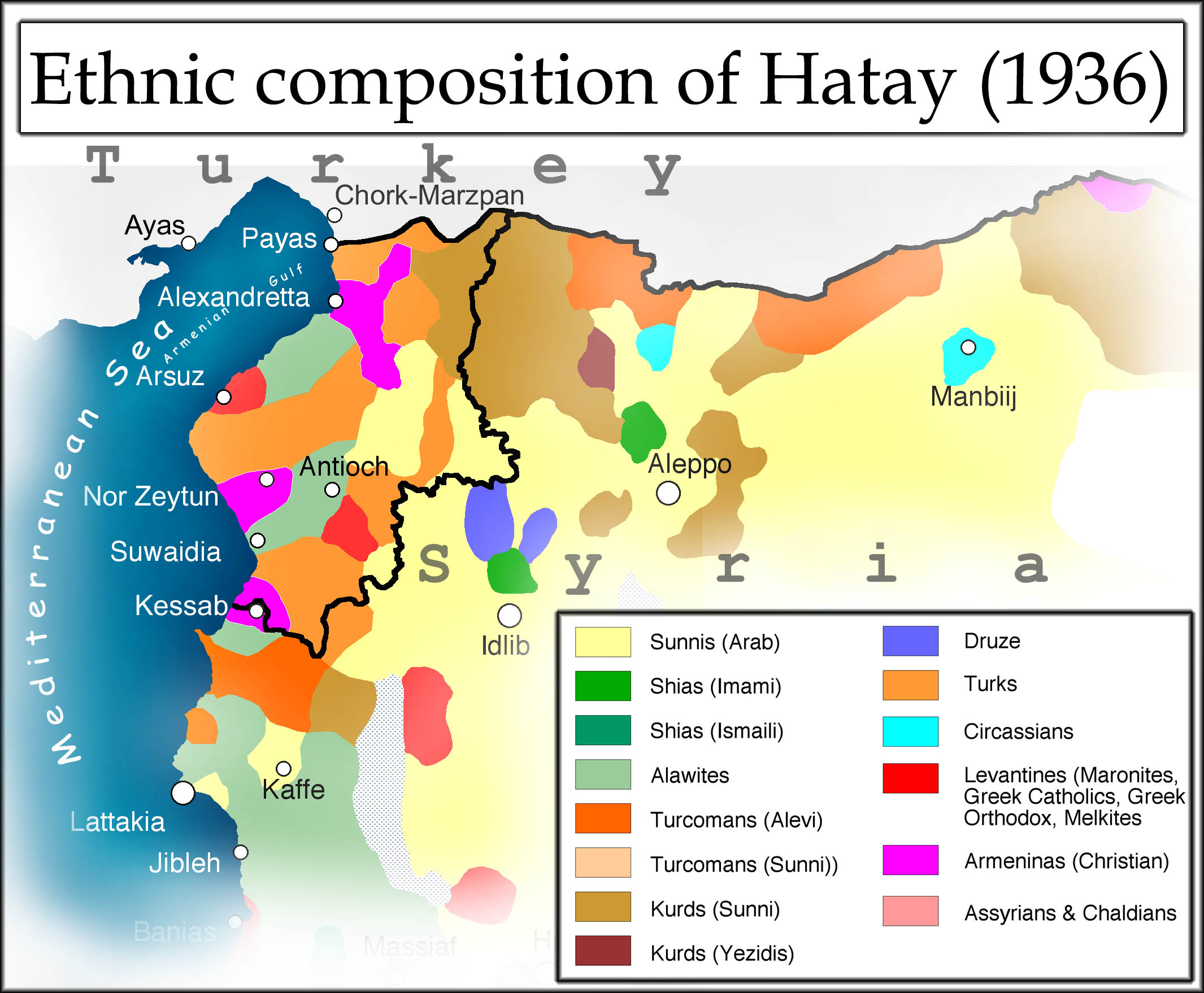
- ^ ethnic map of Hatay
- ^ Ethnic map of medieval Cilicia
- ^ Myllyvirta, Lauri (2020). Air Quality and Health Impacts of the Proposed EMBA Hunutlu Coal Power Project (PDF) (Report).
- ^ Stauffer & Gümüşel (2016), pages 4-6
- ^ Yilmaz, Hilal KARGIN; Sönmez, Hatice (2018-05-11). "Environmental problems and precautions of Iskenderun Gulf in Eastern Mediterranean region". Acta Biologica Turcica. 31 (3): 69–81. ISSN 2458-7893.
Bibliography[]
- Rennell, James (1830), The Geographical System of Herodotus Examined and Explained..., Vol. I (2nd ed.), London: C.J.G. & F. Rivington.
- Anne Stauffer; Deniz Gümüşel (2016). Genon K. Jensen (ed.). Coal power generation and health in Iskenderun Bay, Turkey (PDF) (Report). Health and Environment Alliance (HEAL).
| hide | |
|---|---|
| Black Sea |
|
| Marmara | |
| Aegean | |
| Mediterranean | |
| Related geographical features | |
| |
| Authority control |
|
|---|
Coordinates: 36°45′N 36°00′E / 36.750°N 36.000°E

This article about a Mediterranean Region of Turkey location is a stub. You can help Wikipedia by . |
- Landforms of Hatay Province
- Landforms of Adana Province
- Gulfs of Turkey
- Gulfs of the Mediterranean
- Mediterranean Region, Turkey geography stubs