Horní Počaply
Horní Počaply | |
|---|---|
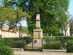 Monument to the fallen in both World Wars | |
 Flag  Coat of arms | |
 Horní Počaply Location in the Czech Republic | |
| Coordinates: 50°25′28″N 14°23′24″E / 50.42444°N 14.39000°ECoordinates: 50°25′28″N 14°23′24″E / 50.42444°N 14.39000°E | |
| Country | |
| Region | Central Bohemian |
| District | Mělník |
| First mentioned | 1288 |
| Area | |
| • Total | 12.39 km2 (4.78 sq mi) |
| Elevation | 160 m (520 ft) |
| Population (2021-01-01)[1] | |
| • Total | 1,258 |
| • Density | 100/km2 (260/sq mi) |
| Time zone | UTC+1 (CET) |
| • Summer (DST) | UTC+2 (CEST) |
| Postal code | 277 03 |
| Website | www |

Horní Počaply is a municipality and village in Mělník District in the Central Bohemian Region of the Czech Republic. It has about 1,300 inhabitants.
Administrative parts[]
The village of Křivenice is an administrative part of Horní Počaply.
References[]
| Wikimedia Commons has media related to Horní Počaply. |
| Authority control: National libraries |
|---|
Categories:
- Populated places in Mělník District
- Villages in Mělník District
- Mělník geography stubs