Jefferson, Kansas
Jefferson, Kansas | |
|---|---|
 | |
 Jefferson | |
| Coordinates: Coordinates: 37°06′44″N 95°45′41″W / 37.11222°N 95.76139°W | |
| Country | United States |
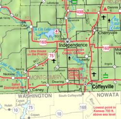
| State | Kansas |
| County | Montgomery |
| Founded | 1886 |
| Platted | 1886 |
| Named for | Albert Jefferson Broadbent |
| Time zone | UTC-6 (CST) |
| • Summer (DST) | UTC-5 (CDT) |
| Area code | 620 |


Jefferson is an unincorporated community in Montgomery County, Kansas, United States.
History[]
Jefferson was laid out in 1886 when the railroad was extended to that point. It was named for Albert Jefferson Broadbent, the original owner of the town site.[1]
A post office was opened in Jefferson in 1888, and remained in operation until it was discontinued in 1954.[2]
References[]
- ^ Duncan, L. Wallace (1903). History of Montgomery County, Kansas. Press of Iola Register. pp. 81.
- ^ "Kansas Post Offices, 1828-1961". Kansas Historical Society. Retrieved 16 June 2014.
Further reading[]
External links[]
Municipalities and communities of Montgomery County, Kansas, United States | ||
|---|---|---|
| Cities |  | |
| Unincorporated communities | ||
| Ghost towns | ||
| Footnotes | †This populated place is designated a Census-Designated Place (CDP) by the United States Census Bureau. | |
| ||
Categories:
- Unincorporated communities in Montgomery County, Kansas
- Unincorporated communities in Kansas
- Southeast Kansas geography stubs