Kaikohe Hill
| Kaikohe Hill | |
|---|---|
| Tokareireia | |
 Kaikohe Hill | |
| Highest point | |
| Elevation | 282 m (925 ft) |
| Coordinates | 35°24′33″S 173°47′2″E / 35.40917°S 173.78389°ECoordinates: 35°24′33″S 173°47′2″E / 35.40917°S 173.78389°E |
| Geography | |
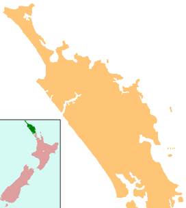
| Location | Kaikohe, New Zealand |
| Geology | |
| Volcanic arc/belt | Kaikohe-Bay of Islands |

Kaikohe Hill (also Tokareireia) is a 282 m high basaltic scoria cone, in the Kaikohe-Bay of Islands volcanic field in New Zealand. It is on the western edge of the town of Kaikohe.
References[]
External links[]
This Northland Region-related geography article is a stub. You can help Wikipedia by . |
Categories:
- Far North District
- Volcanoes of the Northland Region
- Kaikohe
- Northland Region geography stubs