Laï Airport
Laï Airport | |||||||||||
|---|---|---|---|---|---|---|---|---|---|---|---|
| Summary | |||||||||||
| Airport type | Public | ||||||||||
| Owner | Government | ||||||||||
| Serves | Laï | ||||||||||
| Location | |||||||||||
| Elevation AMSL | 1,171 ft / 357 m | ||||||||||
| Coordinates | 09°23′51.6″N 016°18′44.7″E / 9.397667°N 16.312417°ECoordinates: 09°23′51.6″N 016°18′44.7″E / 9.397667°N 16.312417°E | ||||||||||
| Map | |||||||||||
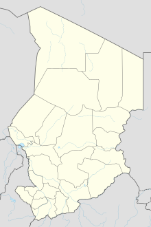 FTTH Location of Laï Airport in Chad | |||||||||||
| Runways | |||||||||||
| |||||||||||

Laï Airport (IATA: LTC, ICAO: FTTH) (Arabic: مطار لادي) is a public use airport located near Laï, Tandjilé, Chad.
See also[]
References[]
- ^ Airport record for Laï Airport at Landings.com. Retrieved 2013-08-28
- ^ Google (2013-08-28). "location of Laï Airport" (Map). Google Maps. Google. Retrieved 2013-08-28.
External links[]
- Airport record for Laï Airport at Landings.com
This article about an airport in Chad is a stub. You can help Wikipedia by . |
Categories:
- Airports in Chad
- Tandjilé Region
- Central Africa airport stubs
- Chad stubs