Lake Manatee State Park
| Lake Manatee State Park | |
|---|---|
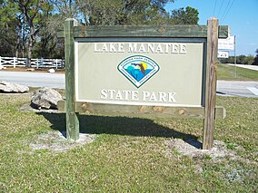 Lake Manatee State Park: Park sign | |
 | |
| Location | Manatee County, Florida, USA |
| Nearest city | Bradenton, Florida |
| Coordinates | 27°28′41″N 82°20′10″W / 27.47806°N 82.33611°WCoordinates: 27°28′41″N 82°20′10″W / 27.47806°N 82.33611°W |
| Governing body | Florida Department of Environmental Protection |

Lake Manatee State Park (Lake Manatee State Recreation Area) is a 556-acre (2.3 km2) State Park in the U.S. state of Florida, located on the south shore of 2,400-acre (10 km2) Lake Manatee. It is 9 miles (14 km) east of I-75 on State Road 64 in Bradenton. It is made up of pine flatwoods, Sand Pine scrub, marshes, and hardwood forests.
Activities include canoeing and kayaking, camping, boating, picnicking, swimming. Among the wildlife of the park are alligators, turtles, osprey. Amenities include a 60-site campground, boat ramp, dock, and picnic area. The park is open from 8:00 am till sundown year-round.
External links[]
![]() Media related to Lake Manatee State Park at Wikimedia Commons
Media related to Lake Manatee State Park at Wikimedia Commons
- Lake Manatee State Park at Florida State Parks
- Lake Manatee State Park at StateParks.com
- Lake Manatee State Recreation Area at abfla.com
- Lake Manatee State Recreation Area at Wildernet.com
This Florida State Park related article is a stub. You can help Wikipedia by . |
- Parks in Manatee County, Florida
- State parks of Florida
- Florida state park stubs