Matanzas State Forest
| Matanzas State Forest | |
|---|---|
 Sign for the Matanzas State Forest, which also includes the Matanzas Wildlife Management Area | |
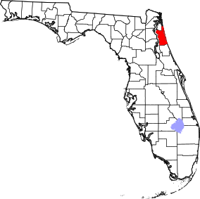 Map of Florida | |
| Location | St. Johns County, Florida |
| Nearest city | St. Augustine |
| Coordinates | 29°42′58.24″N 81°18′9.84″W / 29.7161778°N 81.3027333°WCoordinates: 29°42′58.24″N 81°18′9.84″W / 29.7161778°N 81.3027333°W |
| Area | 4,699 acres (19.02 km²) |
| Governing body | Florida Department of Environmental Protection |

The Matanzas State Forest is in the U.S. state of Florida. The 4,699-acre (19 km2) forest is located in northeastern Florida, near St. Augustine, though it is closer to Crescent Beach. Matanzas State Forest is bordered approximately by U.S. 1 to the west, State Road 206 to the north, the Matanzas River to the east, and the Faver-Dykes State Park to the south.
See also[]
- List of Florida state forests
- List of Florida state parks
References and external links[]
![]() Media related to Matanzas State Forest at Wikimedia Commons
Media related to Matanzas State Forest at Wikimedia Commons
Categories:
- Florida state forests
- Protected areas of St. Johns County, Florida
- First Coast Region, Florida geography stubs