Marion County Airport (Tennessee)
Marion County Airport Brown Field | |||||||||||
|---|---|---|---|---|---|---|---|---|---|---|---|
| Summary | |||||||||||
| Airport type | Public | ||||||||||
| Owner | Marion County | ||||||||||
| Serves | Jasper, Tennessee | ||||||||||
| Elevation AMSL | 641 ft / 195 m | ||||||||||
| Coordinates | 35°03′38″N 085°35′07″W / 35.06056°N 85.58528°W | ||||||||||
| Map | |||||||||||
 APT Location of airport in Tennessee | |||||||||||
| Runways | |||||||||||
| |||||||||||
| Statistics (2009) | |||||||||||
| |||||||||||

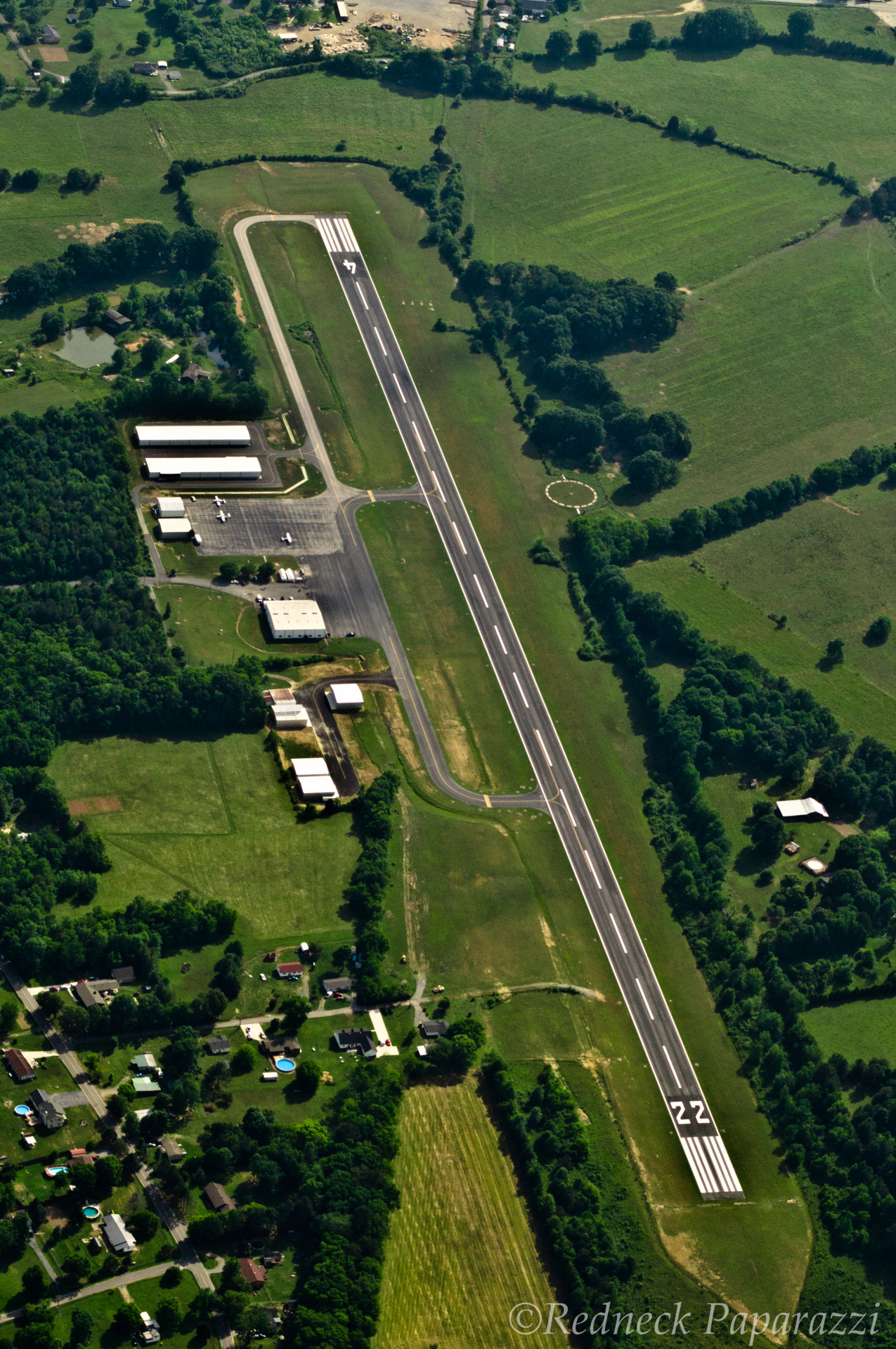
Marion County Airport (IATA: APT, ICAO: KAPT, FAA LID: APT), also known as Brown Field, is a county-owned, public-use airport located four nautical miles (7 km) southeast of the central business district of Jasper, a town in Marion County, Tennessee, United States.[1]
Facilities and aircraft[]
Marion County Airport covers an area of 86 acres (35 ha) at an elevation of 641 feet (195 m) above mean sea level. It has one runway designated 4/22 with an asphalt surface measuring 3,500 by 75 feet (1,067 x 23 m).[1]
For the 12-month period ending June 25, 2009, the airport had 4,480 aircraft operations, an average of 12 per day: 98% general aviation and 2% military. At that time there were 12 aircraft based at this airport: 92% single-engine and 8% helicopter.[1]
References[]
- ^ a b c d FAA Airport Form 5010 for APT PDF. Federal Aviation Administration. Effective 11 February 2010.
External links[]
- Aerial photo as of 19 May 2012
- Aerial photo as of 21 March 1997 from USGS The National Map
- FAA Terminal Procedures for APT, effective January 27, 2022
- Resources for this airport:
- FAA airport information for APT
- AirNav airport information for APT
- ASN accident history for APT
- FlightAware airport information and live flight tracker
- SkyVector aeronautical chart for APT
Categories:
- Airports in Tennessee
- Buildings and structures in Marion County, Tennessee
- Transportation in Marion County, Tennessee