Miara, Queensland
| Miara Queensland | |||||||||||||||
|---|---|---|---|---|---|---|---|---|---|---|---|---|---|---|---|
 Miara | |||||||||||||||
| Coordinates | 24°41′15″S 152°10′11″E / 24.6875°S 152.1697°ECoordinates: 24°41′15″S 152°10′11″E / 24.6875°S 152.1697°E | ||||||||||||||
| Population | 38 (2016 census)[1] | ||||||||||||||
| • Density | 0.793/km2 (2.055/sq mi) | ||||||||||||||
| Postcode(s) | 4673 | ||||||||||||||
| Area | 47.9 km2 (18.5 sq mi) | ||||||||||||||
| Time zone | AEST (UTC+10:00) | ||||||||||||||
| LGA(s) | Bundaberg Region | ||||||||||||||
| State electorate(s) | Burnett | ||||||||||||||
| Federal division(s) | Flynn | ||||||||||||||
| |||||||||||||||

Miara is a town and a coastal locality in the Bundaberg Region, Queensland, Australia.[2][3] In the 2016 census, Miara had a population of 38 people.[1]
History[]
The town's name is believed to be an Aboringinal word meaning wild woman.[2]
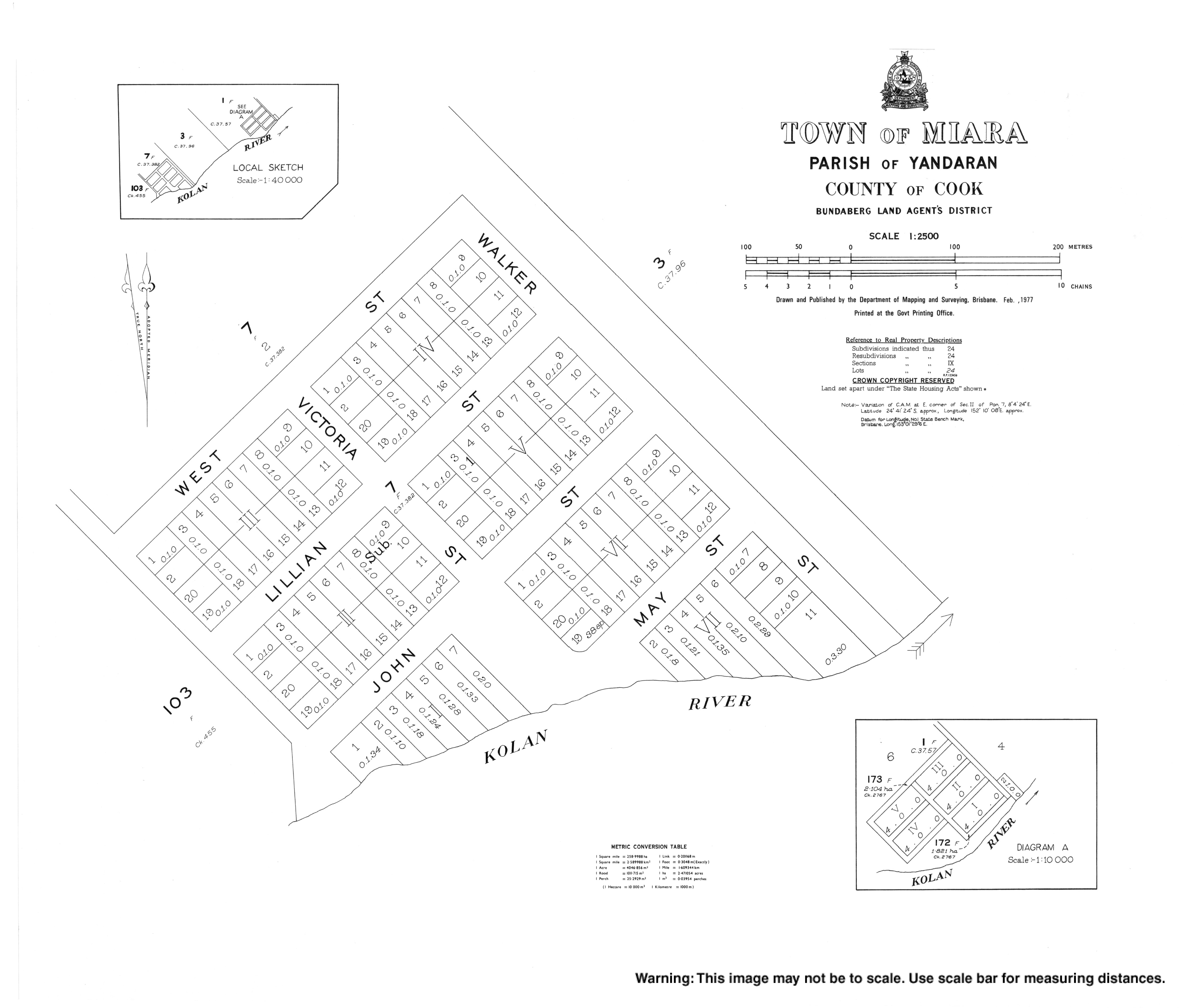
The town site was surveyed in 1884.[2]
Geography[]
Yandaran Creek forms the south-eastern boundary, and the Coral Sea the north-eastern.[4]
References[]
- ^ a b Australian Bureau of Statistics (27 June 2017). "Miara (SSC)". 2016 Census QuickStats. Retrieved 20 October 2018.

- ^ a b c "Miara – town in Bundaberg Region (entry 21750)". Queensland Place Names. Queensland Government. Retrieved 10 June 2019.
- ^ "Miara – locality in Bundaberg Region (entry 44743)". Queensland Place Names. Queensland Government. Retrieved 10 June 2019.
- ^ Google (20 August 2021). "Miara, Queensland" (Map). Google Maps. Google. Retrieved 20 August 2021.
External links[]
| Wikimedia Commons has media related to Miara, Queensland. |
Categories:
- Towns in Queensland
- Bundaberg Region
- Coastline of Queensland
- Localities in Queensland