Mount Davidson (Alberta)
| Mount Davidson | |
|---|---|
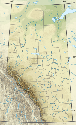 Mount Davidson Location in Alberta | |
| Highest point | |
| Elevation | 2,919 m (9,577 ft)[1] |
| Listing | Mountains of Alberta |
| Coordinates | 51°24′21″N 115°20′24″W / 51.40583°N 115.34000°WCoordinates: 51°24′21″N 115°20′24″W / 51.40583°N 115.34000°W[2] |
| Geography | |
| Location | Don Getty Wildland Provincial Park Alberta, Canada |
| Parent range | Rocky Mountains |
| Climbing | |
| First ascent | 1988 Frank Campbell and Karl Nagy[3] |


Mount Davidson is a 2,919-metre (9,577-foot) mountain summit located to the north of the head of , Municipal District of Bighorn No. 8, southwestern Alberta, Canada. Visible from Calgary, it is situated 18 km (11 mi) north of Lake Minnewanka. Its nearest higher peak is , located on the same ridge 3.5 km (2 mi) to the northeast.[4] The first ascent of the mountain was made in October 1988 by Frank Campbell and Karl Nagy.[3]
Mount Davidson is named after James Wheeler Davidson (1872 – 1933).[3][5]
See also[]
References[]
- ^ Peakery - Mount Davidson Alberta
- ^ Geographical Names
- ^ a b c Spectacular Mountains - Mount Davidson & Waiparous Peak
- ^ "Mount Davidson, British Columbia". Peakbagger.com. Retrieved 2019-11-12.
- ^ Peakfinder - Mount Davidson
External links[]
- Weather: Mount Davidson
Categories:
- Two-thousanders of Alberta
- Canadian Rockies