Ochapowace 71-10
Ochapowace 71-10 | |
|---|---|
| Ochapowace Indian Reserve No. 71-10 | |
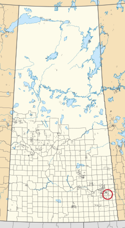 Location in Saskatchewan | |
| First Nation | Ochapowace |
| Country | Canada |
| Province | Saskatchewan |
| Area | |
| • Total | 192.3 ha (475.2 acres) |
| Population (2016)[2] | |
| • Total | 0 |
| • Density | 0.0/km2 (0.0/sq mi) |
Ochapowace 71-10 is an Indian reserve of the Ochapowace Nation in Saskatchewan.[1][3] It is 16 kilometers northeast of Whitewood. In the 2016 Canadian Census, it recorded a population of 0 living in 0 of its 0 total private dwellings.[2]
References[]
- ^ a b "Reserve/Settlement/Village Detail". Indigenous and Northern Affairs Canada. Government of Canada. Retrieved August 12, 2019.
- ^ a b "Census Profile, 2016 Census". Statistics Canada. February 8, 2017. Retrieved 2019-08-10.
- ^ "Canada Lands Survey System - CLSS Map Browser". Natural Resources Canada. Retrieved 2019-10-09.
| Cities |  | ||||
|---|---|---|---|---|---|
| Towns | |||||
| Villages | |||||
| Resort villages | |||||
| Rural municipalities | |||||
| First Nations |
| ||||
| Indian reserves | |||||
| Unincorporated communities |
| ||||
Coordinates: 50°21′59″N 102°04′36″W / 50.3665°N 102.0768°W

This article about a location in the Census Division No. 5 of Saskatchewan is a stub. You can help Wikipedia by . |
This article about an Indian reserve in Saskatchewan is a stub. You can help Wikipedia by . |
Categories:
- Indian reserves in Saskatchewan
- Division No. 5, Saskatchewan
- Ochapowace Nation
- Saskatchewan Division No. 5 geography stubs
- Saskatchewan Indian reserve stubs