Ohaveč
Ohaveč | |
|---|---|
Municipality and village | |
 Road I/16 and house no. 23 in Ohaveč | |
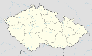 Ohaveč Location in the Czech Republic | |
| Coordinates: 50°27′N 15°18′E / 50.450°N 15.300°ECoordinates: 50°27′N 15°18′E / 50.450°N 15.300°E | |
| Country | |
| Region | Hradec Králové Region |
| District | Jičín District |
| Area | |
| • Total | 0.5 sq mi (1.4 km2) |
| Population (2020) | |
| • Total | 112 |
| Time zone | UTC+1 (CET) |
| • Summer (DST) | UTC+2 (CEST) |
| ZIP code | 50601 |

Ohaveč (Jičín, Královéhradecký kraj, Czech Republic) is a village and municipality in Jičín District in the Hradec Králové Region of the Czech Republic.[1] The municipality covers an area of 1.38 km², and as of 2006 it had a population of 72.[2]
References[]
- ^ "Ohaveč (Jičín, Královéhradecký kraj, Czech Republic) - Population Statistics, Charts, Map, Location, Weather and Web Information". www.citypopulation.de. Retrieved 2021-01-07.
- ^ "OBEC OHAVEČ – oficiální web obce". obec-ohavec.cz. Retrieved 2021-01-07.
| Wikimedia Commons has media related to Ohaveč. |
| Authority control: National libraries |
|---|
This Hradec Králové Region location article is a stub. You can help Wikipedia by . |
Categories:
- Populated places in Jičín District
- Villages in Jičín District
- Hradec Králové Region geography stubs