Otterbein, Ohio
Otterbein, Ohio | |
|---|---|
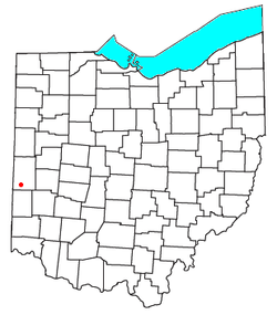 Location of Otterbein, Ohio | |
| Coordinates: 39°56′45″N 84°40′18″W / 39.94583°N 84.67167°WCoordinates: 39°56′45″N 84°40′18″W / 39.94583°N 84.67167°W | |
| Country | United States |
| State | Ohio |
| County | Darke |
| Township | Butler |
| Elevation | 1,109 ft (338 m) |
| Time zone | UTC-5 (Eastern (EST)) |
| • Summer (DST) | UTC-4 (EDT) |
| GNIS feature ID | 1062926[1] |

Otterbein (also Otterbine) is an unincorporated community in southwestern Butler Township, Darke County, Ohio, United States. It lies at the intersection of Otterbin Ithaca and Preble County Butler Township Roads southwest of the city of Greenville, the county seat.[2] Its elevation is 1,109 feet (338 m). Because the community has borne multiple names, the Board on Geographic Names officially designated it "Otterbein" in 1963.[1]
References[]
- ^ a b "Otterbein, Ohio". Geographic Names Information System. United States Geological Survey. Retrieved 2008-03-18.
- ^ DeLorme. Ohio Atlas & Gazetteer. 7th ed. Yarmouth, 2004, p. 64.
Municipalities and communities of Darke County, Ohio, United States | ||
|---|---|---|
| City |  | |
| Villages | ||
| Townships | ||
| Unincorporated communities | ||
| Footnotes | ‡This populated place also has portions in an adjacent county or counties | |
| ||
This Darke County, Ohio state location article is a stub. You can help Wikipedia by . |
Categories:
- Unincorporated communities in Darke County, Ohio
- Unincorporated communities in Ohio
- Dayton-Springfield-Greenville geography stubs