R231 road (Ireland)
 | |
|---|---|
| Bóthar R231 | |
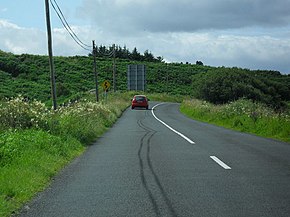 R231 at Kilbarron, Co. Donegal | |
| Route information | |
| Length | 14.2 km[1][2] (8.8 mi) |
| Major junctions | |
| From | |
| To | |
| Highway system | |
| |
The R231 road is a regional road in Ireland. It is a loop road from the N15 road in County Donegal.[2] Most of the road is part of the Wild Atlantic Way.[3]
The R231 heads west from the N15, just outside Ballyshannon. The road goes northwest before turning northeast towards the beach village of Rossnowlagh and passing Durnesh Lough. The road rejoins the N15 at Ballintra. The R231 is 14.2 km (8.8 mi) long.[1]
See also[]
- Roads in Ireland
References[]
- ^ a b Google (14 March 2016). "R231 to R231" (Map). Google Maps. Google. Retrieved 14 March 2016.
- ^ a b "S.I. No. 54/2012 – Roads Act 1993 (Classification of Regional Roads) Order 2012". Government of Ireland. 28 February 2012. Retrieved 14 March 2016.
- ^ "Wild Atlantic Way - Explore The Route". Fáilte Ireland. Retrieved 14 March 2016.
This article related to the geography of County Donegal, Ireland is a stub. You can help Wikipedia by . |
This Irish road or road transport-related article is a stub. You can help Wikipedia by . |
Categories:
- Regional roads in the Republic of Ireland
- Roads in County Donegal
- County Donegal geography stubs
- Ireland road stubs