R678 road (Ireland)
 | |
|---|---|
| Bóthar R678 | |
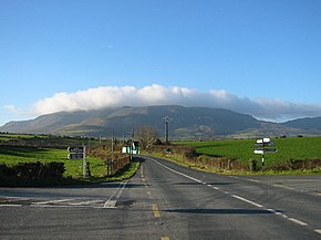 Ballyhest Crossroads, where the R678 and R676 meet. | |
| Route information | |
| Length | 30.9 km (19.2 mi) |
| Major junctions | |
| From | |
| Enters County Cork Passes through Rathgormack Crosses River Clodiagh | |
| To | |
| Highway system | |
| |
The R678 road is a regional road in Ireland, located in County Tipperary and County Waterford.[1][2]
References[]
- ^ "R678 - Roader's Digest: The SABRE Wiki". sabre-roads.org.uk. Retrieved 9 March 2016.
- ^ "S.I. No. 54/2012 - Roads Act 1993 (Classification of Regional Roads) Order 2012". irishstatutebook.ie. Retrieved 9 March 2016.
Coordinates: 52°17′31″N 7°27′56″W / 52.291992°N 7.465606°W

This Irish road or road transport-related article is a stub. You can help Wikipedia by . |
Categories:
- Regional roads in the Republic of Ireland
- Roads in County Tipperary
- Roads in County Waterford
- Ireland road stubs