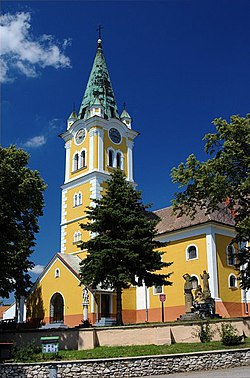
Radošovce, Skalica District
Radošovce | |
|---|---|
Municipality | |
 | |
 Radošovce Location of Radošovce in the Trnava Region | |
| Coordinates: 48°46′0″N 17°17′0″E / 48.76667°N 17.28333°ECoordinates: 48°46′0″N 17°17′0″E / 48.76667°N 17.28333°E | |
| Country | Slovakia |
| Region | Trnava |
| District | Skalica |
| First mentioned | 1473 |
| Area | |
| • Total | 26.599 km2 (10.270 sq mi) |
| Elevation | 223 m (732 ft) |
| Population | |
| • Total | 1,812 |
| • Density | 68/km2 (180/sq mi) |
| Time zone | UTC+1 (CET) |
| • Summer (DST) | UTC+2 (CEST) |
| Postal code | 908 63 |
| Area code(s) | 421-34 |
| Car plate | SI |
| Website | www.radosovce.sk |


Radošovce is a village and municipality in Skalica District in the Trnava Region of western Slovakia.
History[]
In historical records the village was first mentioned in 1473.
Geography[]
The municipality lies at an altitude of 223 metres and covers an area of 26.599 km². It has a population of about 1812 people.
External links[]
![]() Media related to Radošovce, Skalica District at Wikimedia Commons
Media related to Radošovce, Skalica District at Wikimedia Commons
| hide Municipalities of Skalica District | ||
|---|---|---|
| Authority control |
|
|---|
This Trnava Region geography article is a stub. You can help Wikipedia by . |
Categories:
- Villages and municipalities in Skalica District
- Trnava Region geography stubs