Rascafría
show This article may be expanded with text translated from the corresponding article in Spanish. (July 2009) Click [show] for important translation instructions. |
Rascafría | |
|---|---|
 Town Hall. | |
 Flag  Seal | |
 Municipal location within the Community of Madrid. | |
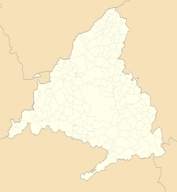 Rascafría Location in the Community of Madrid | |
| Coordinates: 40°54′17″N 3°52′46″W / 40.90472°N 3.87944°WCoordinates: 40°54′17″N 3°52′46″W / 40.90472°N 3.87944°W | |
| Country | |
| Autonomous community | Community of Madrid |
| Province | Madrid |
| Government | |
| • Mayor | Yolanda Aguirre Gómez |
| Area | |
| • Total | 150.27 km2 (58.02 sq mi) |
| Elevation | 1,163 m (3,816 ft) |
| Population (2018)[1] | |
| • Total | 1,663 |
| • Density | 11/km2 (29/sq mi) |
| Demonym(s) | Rascafrienses |
| Time zone | UTC+1 (CET) |
| • Summer (DST) | UTC+2 (CEST) |
| Website | www.rascafria.org |


Rascafría is a municipality of the Community of Madrid, Spain.
In its territory is the Monastery of Santa Maria de El Paular.
Transport system[]
The only way to arrive to Rascafría is with bus lines 194 and 194A.
References[]
- ^ Municipal Register of Spain 2018. National Statistics Institute.
| show Municipalities of the Community of Madrid |
|---|
| show Authority control |
|---|
This article about a location in the Community of Madrid, Spain is a stub. You can help Wikipedia by . |
Categories:
- Municipalities in the Community of Madrid
- Madrid geography stubs