Remenchus Glacier
| Remenchus Glacier | |
|---|---|
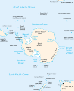 Map of Antarctica, with Wilkes Land slightly to the right | |
 Location of Remenchus Glacier in Antarctica | |
| Location | Wilkes Land |
| Coordinates | 66°02′00″S 101°35′00″E / 66.03333°S 101.58333°E / -66.03333; 101.58333 |
| Length | 8 nautical miles (15 km; 9.2 mi) |
| Width | 4 nautical miles (7.4 km; 4.6 mi) |
| Thickness | unknown |
| Status | unknown |
Remenchus Glacier (66°2′S 101°35′E / 66.033°S 101.583°E / -66.033; 101.583Coordinates: 66°2′S 101°35′E / 66.033°S 101.583°E / -66.033; 101.583) is a channel glacier about 4 nautical miles (7 km) wide and 8 nautical miles (15 km) long, flowing northwest from the continental ice and terminating in a small, but prominent tongue close east of the Mariner Islands and 12 nautical miles (22 km) northeast of Bunger Hills. Mapped from air photos taken by U.S. Navy Operation Highjump, 1946–47, and named by the Advisory Committee on Antarctic Names (US-ACAN) for , chief aviation pilot, who assisted U.S. Navy Operation Windmill shore party operations and made photographic flights along Wilhelm II, Queen Mary, Knox and Budd Coasts in January–February 1948.
See also[]
- List of glaciers in the Antarctic
- Glaciology
References[]
 This article incorporates public domain material from the United States Geological Survey document: "Remenchus Glacier". (content from the Geographic Names Information System)
Glaciers | |||||||
|---|---|---|---|---|---|---|---|
| Types |
| ||||||
| Anatomy |
| ||||||
| Processes |
| ||||||
| Measurements |
| ||||||
| Volcanic relations | |||||||
| Landforms |
| ||||||
| |||||||
Glaciers in the Antarctic | |
|---|---|
|
Glaciers of Wilkes Land | |
|---|---|
|
This article about a glacier in Wilkes Land is a stub. You can help Wikipedia by . |
- v
- t
- Glaciers of Wilkes Land
- Wilkes Land geography stubs
- Antarctica glacier stubs
- Articles with short description
- Short description matches Wikidata
- Use dmy dates from June 2018
- Coordinates on Wikidata
- Wikipedia articles incorporating text from the USGS Geographic Names Information System
- All stub articles