River Tern
| River Tern River Tearne | |
|---|---|
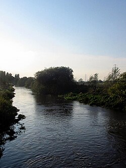 The Tern near Longdon-on-Tern | |
 A map of the Tern and its tributaries. Watershed is shown in cyan. | |
| Location | |
| Country | United Kingdom |
| State | England |
| County | Shropshire |
| City | Market Drayton, Atcham |
| Physical characteristics | |
| Source | Maer Pool |
| • location | lake in the grounds of Maer Hall, Staffordshire |
| • coordinates | 52°56′34″N 2°18′54″W / 52.9429°N 2.3149°W |
| • elevation | 114 m (374 ft) |
| Mouth | |
• location | confluence with River Severn, Attingham Park, Atcham |
• coordinates | 52°40′41″N 2°39′45″W / 52.6780°N 2.6625°WCoordinates: 52°40′41″N 2°39′45″W / 52.6780°N 2.6625°W |
• elevation | 44 m (144 ft) |
| Length | 30 mi (48 km) |
| Basin features | |
| Tributaries | |
| • left | River Meese, River Strine |
| • right | River Roden |

The River Tern (also historically known as the Tearne[1]) is a river in Shropshire, England. It rises north-east of Market Drayton in the north of the county. The source of the Tern is considered to be the lake in the grounds of Maer Hall, Staffordshire. From here it flows for about 30 miles (48 km), being fed by the River Meese and the River Roden, until it joins the River Severn near Attingham Park, Atcham.
Extensive peat bog formerly existed,[2] extending from Crudgington on the Tern as far as Newport.

At Longdon-on-Tern, the Tern is spanned by the Longdon-on-Tern Aqueduct, the world's first large-scale cast iron navigable aqueduct, designed by Thomas Telford to carry the Shrewsbury Canal. The 62-yard (57 m) long structure still stands today, but is marooned in the middle of a field.
References[]
- ^ Secret Shropshire: Field name map of Withington Parish
- ^ Reported in 1838 by John Selby Prideaux and Sir William Jardine, "An attempt to ascertain the Fauna of Shropshire and North Wales", Magazine of Zoology and Botany, vol. 2 (1838), p. 538.
External links[]
- Tern Views - a detailed description with photographs
| show Authority control |
|---|
This Shropshire location article is a stub. You can help Wikipedia by . |
- Tributaries of the River Severn
- Rivers of Shropshire
- Tern catchment
- Shropshire geography stubs
- England river stubs