Saint-Sévère, Quebec
Saint-Sévère | |
|---|---|
Parish municipality | |
 | |
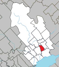 Location within Maskinongé RCM | |
 Saint-Sévère Location in central Quebec | |
| Coordinates: 46°21′N 72°54′W / 46.350°N 72.900°WCoordinates: 46°21′N 72°54′W / 46.350°N 72.900°W[1] | |
| Country | |
| Province | |
| Region | Mauricie |
| RCM | Maskinongé |
| Constituted | July 1, 1855 |
| Government | |
| • Mayor | Laurent Lavergne |
| • Federal riding | Berthier—Maskinongé |
| • Prov. riding | Maskinongé |
| Area | |
| • Total | 32.00 km2 (12.36 sq mi) |
| • Land | 31.81 km2 (12.28 sq mi) |
| Population (2011)[3] | |
| • Total | 318 |
| • Density | 10.0/km2 (26/sq mi) |
| • Pop 2006-2011 | |
| • Dwellings | 144 |
| Time zone | UTC−5 (EST) |
| • Summer (DST) | UTC−4 (EDT) |
| Postal code(s) | G0X 3B0 |
| Area code(s) | 819 |
| Highways | No major routes |
| Website | www |

Saint-Sévère is a parish municipality in the Mauricie region of the province of Quebec in Canada.
References[]
- ^ Reference number 57630 of the Commission de toponymie du Québec (in French)
- ^ Jump up to: a b Geographic code 51030 in the official Répertoire des municipalités (in French)
- ^ Jump up to: a b "(Code 2451030) Census Profile". 2011 census. Statistics Canada. 2012.
External links[]
![]() Media related to Saint-Sévère, Quebec at Wikimedia Commons
Media related to Saint-Sévère, Quebec at Wikimedia Commons
| show Places adjacent to Saint-Sévère, Quebec |
|---|
| hide | |
|---|---|
| Cities & towns | |
| Municipalities | |
| Parishes | |
| |
| show Authority control |
|---|
This Quebec location article is a stub. You can help Wikipedia by . |
Categories:
- Parish municipalities in Quebec
- Incorporated places in Mauricie
- Quebec geography stubs