Tahara, Victoria
| Tahara Victoria | |
|---|---|
 St Peter's Anglican church, Tahara - built in 1881 | |
 Tahara | |
| Coordinates | 37°44′38″S 141°42′14″E / 37.74389°S 141.70389°ECoordinates: 37°44′38″S 141°42′14″E / 37.74389°S 141.70389°E |
| Population | 36 (2016 census)[1] |
| Postcode(s) | 3301 |
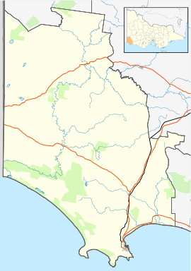
| Location | |
| LGA(s) | |
| State electorate(s) | Lowan |
| Federal Division(s) | Wannon |

Tahara is a locality in south west Victoria, Australia. The locality is shared between Shire of Glenelg and Shire of Southern Grampians 330 kilometres (210 mi) west of the state capital, Melbourne.
At the 2016 census, Tahara had a population of 36.[1]
Traditional ownership[]
The formally recognised traditional owners for the area in which Tahara sits are the Gunditjmara People[2] who are represented by the Gunditj Mirring Traditional Owners Aboriginal Corporation.[3]
References[]
- ^ Jump up to: a b Australian Bureau of Statistics (27 June 2017). "Tahara". 2016 Census QuickStats. Retrieved 11 July 2017.

- ^ "Map of formally recognised traditional owners". Aboriginal Victoria. Retrieved 2 June 2020.
- ^ "Gunditj Mirring Traditional Owners Aboriginal". Gunditj Mirring Traditional Owners Aboriginal Corporation. Retrieved 2 June 2020.
External links[]
![]() Media related to Tahara, Victoria at Wikimedia Commons
Media related to Tahara, Victoria at Wikimedia Commons
This article about a location in Victoria, Australia is a stub. You can help Wikipedia by . |
Categories:
- Towns in Victoria (Australia)
- Victoria (Australia) geography stubs