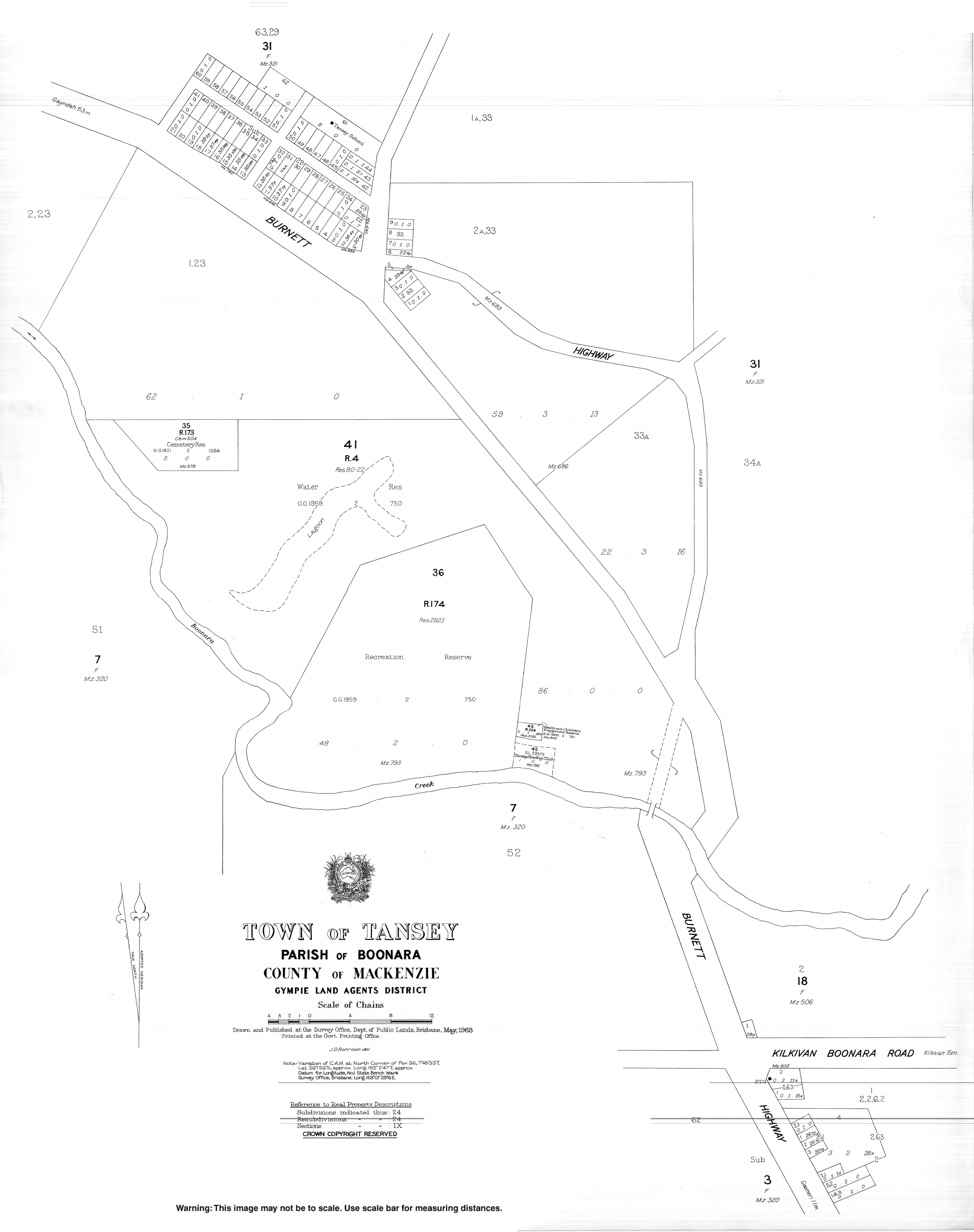
Tansey, Queensland
| Tansey Queensland | |||||||||||||||
|---|---|---|---|---|---|---|---|---|---|---|---|---|---|---|---|
 Burnett Highway passing through Tansey, 2019 | |||||||||||||||
 Tansey | |||||||||||||||
| Coordinates | 26°01′27″S 152°02′35″E / 26.0241°S 152.0430°ECoordinates: 26°01′27″S 152°02′35″E / 26.0241°S 152.0430°E | ||||||||||||||
| Population | 144 (2016 census)[1] | ||||||||||||||
| • Density | 0.3665/km2 (0.949/sq mi) | ||||||||||||||
| Postcode(s) | 4601 | ||||||||||||||
| Area | 392.9 km2 (151.7 sq mi) | ||||||||||||||
| Location | |||||||||||||||
| LGA(s) | Gympie Region | ||||||||||||||
| State electorate(s) | Nanango | ||||||||||||||
| Federal division(s) | Wide Bay | ||||||||||||||
| |||||||||||||||

Tansey is a town and a locality in the Gympie Region, Queensland, Australia.[2][3] In the 2016 census, Tansey had a population of 144 people.[1]
Geography[]
The north and centre of the locality is within , which extends into neighbouring localities Malarga, Gigoomgan, Calgoa, and Mudlo. Apart from the national park, the predominant land use is cattle grazing.[4]
The Burnett Highway passes through the south-west of the locality from Boonara in the south to Booubyjan in the west. The town is located on the highway at its intersection with the Kilkivan Tansey Road, which provides a connection to Kilkivan.[4]
History[]
The town takes its name from selector Michael Tansey, a resident on "Lakeview" from 1877.[2]
Tansey State School opened on 6 June 1916. It closed on 13 Dec 1996.[5]
Previously, an abbotoir (Anstey) operated, as did a local butter factory.
Tansey suffered considerable damage when a tornado struck the community in October 2018.[6] The Bureau of Meteorology said the tornado hit the town just after 3pm on 11 October 2018.[7]
Amenities[]

There is a showgrounds, bowls club and community hall in Tansey.
Tansey Cemetery is located on Tansey Cemetery Road.[8]
Education[]
There are no schools in Tansey. The nearest primary schools are in Goomeri and Kilkivan. The nearest secondary schools are in Murgon and Gympie.[4]
References[]
- ^ a b Australian Bureau of Statistics (27 June 2017). "Tansey (SSC)". 2016 Census QuickStats. Retrieved 20 October 2018.

- ^ a b "Tansey – town in Gympie Region (entry 33304)". Queensland Place Names. Queensland Government. Retrieved 28 May 2019.
- ^ "Tansey – locality in Gympie Region (entry 46382)". Queensland Place Names. Queensland Government. Retrieved 28 May 2019.
- ^ a b c "Queensland Globe". State of Queensland. Retrieved 25 May 2019.
- ^ Queensland Family History Society (2010), Queensland schools past and present (Version 1.01 ed.), Queensland Family History Society, ISBN 978-1-921171-26-0
- ^ Chuddihy, Marguerite (12 October 2018). "There is immense destruction". South Burnett Times. Archived from the original on 15 October 2018. Retrieved 15 October 2018.
- ^ "Town pounded by tornado as storms hit South Burnett". ABC News. 11 October 2018. Archived from the original on 14 October 2018. Retrieved 15 October 2018.
- ^ "Gympie Region Cemeteries". Gympie Regional Council. Archived from the original on 21 June 2019. Retrieved 21 June 2019.
External links[]
| Wikimedia Commons has media related to Tansey, Queensland. |
- Towns in Queensland
- Gympie Region
- Localities in Queensland