Unterkohlstätten
Unterkohlstätten | |
|---|---|
 Coat of arms | |
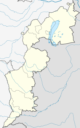 Unterkohlstätten Location within Burgenland | |
| Coordinates: 47°23′N 16°19′E / 47.383°N 16.317°ECoordinates: 47°23′N 16°19′E / 47.383°N 16.317°E | |
| Country | Austria |
| State | Burgenland |
| District | Oberwart |
| Government | |
| • Mayor | Leonhard Schneemann |
| Area | |
| • Total | 29.14 km2 (11.25 sq mi) |
| Elevation | 503 m (1,650 ft) |
| Population (2018-01-01)[2] | |
| • Total | 1,029 |
| • Density | 35/km2 (91/sq mi) |
| Time zone | UTC+1 (CET) |
| • Summer (DST) | UTC+2 (CEST) |
| Postal code | 7435 |
| Website | www.unterkohlstaetten.at |


Unterkohlstätten (Hungarian: Alsószénégető) is a town in the district of Oberwart in the Austrian state of Burgenland.
Population[]
| Year | Pop. | ±% |
|---|---|---|
| 1869 | 1,455 | — |
| 1880 | 1,542 | +6.0% |
| 1890 | 1,553 | +0.7% |
| 1900 | 1,538 | −1.0% |
| 1910 | 1,454 | −5.5% |
| 1923 | 1,445 | −0.6% |
| 1934 | 1,578 | +9.2% |
| 1939 | 1,582 | +0.3% |
| 1951 | 1,231 | −22.2% |
| 1961 | 1,196 | −2.8% |
| 1971 | 1,135 | −5.1% |
| 1981 | 1,144 | +0.8% |
| 1991 | 1,152 | +0.7% |
| 2001 | 1,103 | −4.3% |
| 2011 | 1,032 | −6.4% |
References[]
- ^ "Dauersiedlungsraum der Gemeinden Politischen Bezirke und Bundesländer - Gebietsstand 1.1.2018". Statistics Austria. Retrieved 10 March 2019.
- ^ "Einwohnerzahl 1.1.2018 nach Gemeinden mit Status, Gebietsstand 1.1.2018". Statistics Austria. Retrieved 9 March 2019.
| Authority control |
|---|
This Burgenland location article is a stub. You can help Wikipedia by . |
Categories:
- Cities and towns in Oberwart District
- Burgenland geography stubs