Vatnsdalshólar
| Vatnsdalshólar | |
|---|---|
 Some of the hills | |
| Highest point | |
| Elevation | 83 m (272 ft) |
| Listing | Breast-shaped hills |
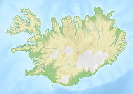
| Coordinates | 65°30′N 20°22′W / 65.500°N 20.367°WCoordinates: 65°30′N 20°22′W / 65.500°N 20.367°W[1] |
| Geography | |
 Vatnsdalshólar | |

Vatnsdalshólar ("Vatnsdalskullarna") is a hill group located in the Northwestern Region, Iceland. They are located at the northern end of in an area measuring approximately 5.5 km2.[2]
Landslides are common in Vatnsdalur valley, especially near the Vatnsdalshólar hills, which are composed of loose stone and gravel.[3]
See also[]
References[]
- ^ a b Google Earth
- ^ "Vatnsdalur". GeoHack. Retrieved 25 June 2021.
- ^ Vatnsdalur - Hit Iceland
External links[]
 Media related to Vatnsdalshólar at Wikimedia Commons
- Vatnsdalshólar – Iceland Road Guide
This Iceland location article is a stub. You can help Wikipedia by . |
Categories:
- Geography of Iceland
- Iceland geography stubs