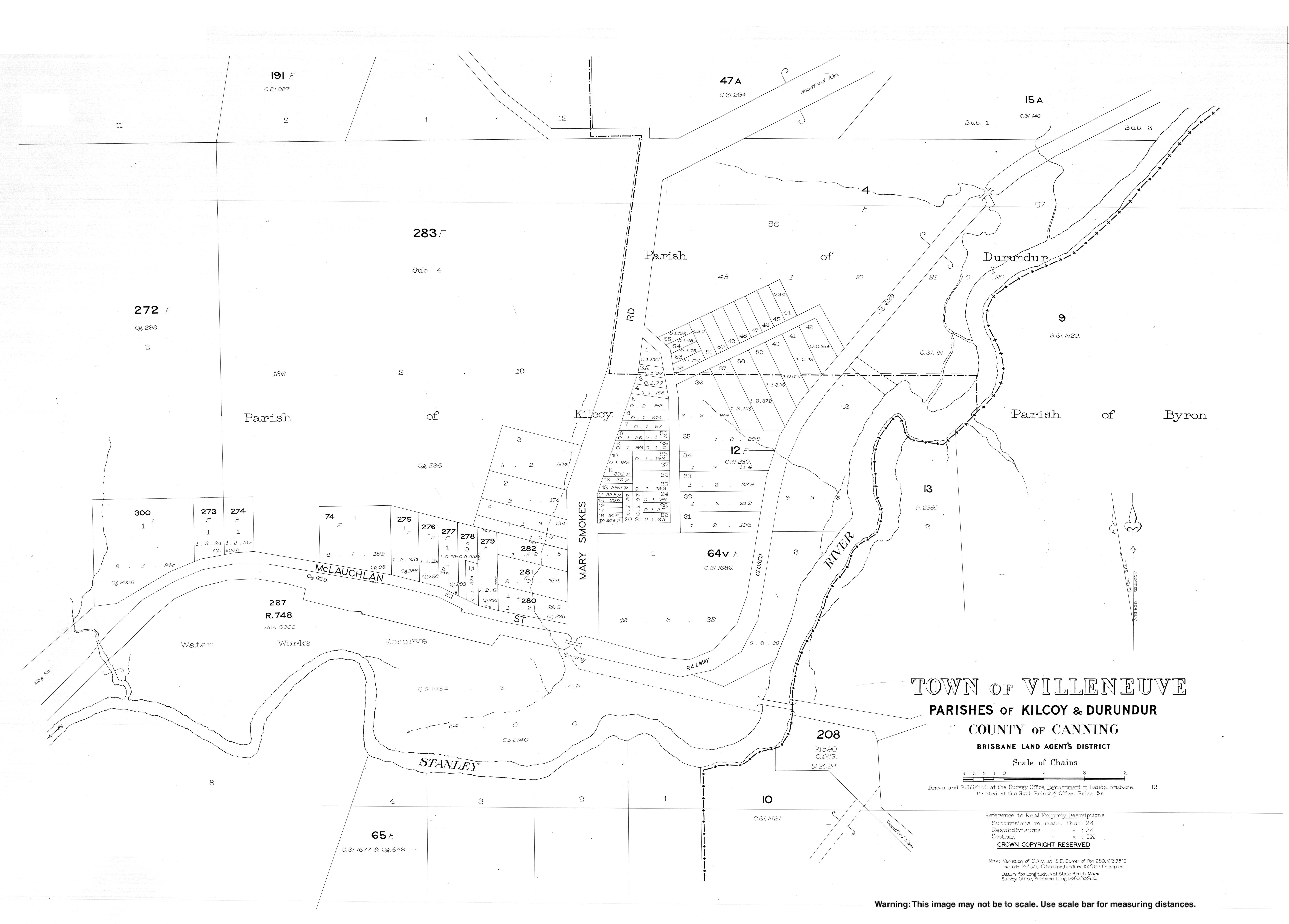
Villeneuve, Queensland
| Villeneuve Queensland | |||||||||||||||
|---|---|---|---|---|---|---|---|---|---|---|---|---|---|---|---|
 Paddocks in Villeneuve with Mount Archer in the background, 2015 | |||||||||||||||
 Villeneuve | |||||||||||||||
| Coordinates | 26°57′42″S 152°37′54″E / 26.9616°S 152.6316°ECoordinates: 26°57′42″S 152°37′54″E / 26.9616°S 152.6316°E | ||||||||||||||
| Population | 179 (2016 census)[1] | ||||||||||||||
| • Density | 27.54/km2 (71.3/sq mi) | ||||||||||||||
| Postcode(s) | 4514 | ||||||||||||||
| Area | 6.5 km2 (2.5 sq mi) | ||||||||||||||
| Time zone | AEST (UTC) | ||||||||||||||
| LGA(s) | Somerset Region | ||||||||||||||
| State electorate(s) | Nanango | ||||||||||||||
| Federal division(s) | Blair | ||||||||||||||
| |||||||||||||||

Villeneuve is a rural town and locality in the Somerset Region, Queensland, Australia.[2][3] In the 2016 census, Villeneuve had a population of 179 people.[1]
Geography[]
A section of the northern boundary of Villeneuve follows the D'Aguilar Highway.
History[]

The town is named after the railway station, which in turn took its name from Frank Villeneuve Nicholson, owner of the property Villeneuve.[3]
Farming was established at Villeneuve in the late 1870s.[4]
Villeneuve Provisional School opened on 30 May 1887 with a new building erected in 1888 which it shared with the Anglican Church. In 1902 it was renamed West Vale Provisional School. It was temporarily closed between September 1907 and July 1908 due to poor student numbers. It closed permanently in February 1910.[5]
St Barnabas' Anglican Church was dedicated on Sunday 9 September 1888 by local rector Reverend J.F. Leighton. It occupied shared premises with the provisional school with the school room being the nave of the church with a chancel being added for church services.[6][7][8] It closed circa 1961.[9]
As a result of the creation of the Somerset Dam, much of Villeneuve is now underwater.[4]
References[]
- ^ a b Australian Bureau of Statistics (27 June 2017). "Villeneuve (SSC)". 2016 Census QuickStats. Retrieved 20 October 2018.

- ^ "Villeneuve – town in Somerset Region (entry 43021)". Queensland Place Names. Queensland Government. Retrieved 30 November 2019.
- ^ a b "Villeneuve – locality in Somerset Region (entry 44928)". Queensland Place Names. Queensland Government. Retrieved 30 November 2019.
- ^ a b "Kilcoy and Kilcoy Shire". Queensland Places. Centre for the Government of Queensland, University of Queensland. Retrieved 14 March 2014.
- ^ Queensland Family History Society (2010), Queensland schools past and present (Version 1.01 ed.), Queensland Family History Society, ISBN 978-1-921171-26-0
- ^ "DEDICATION OF AN ANGLICAN CHURCH AT VILLENEUVE". Queensland Times, Ipswich Herald And General Advertiser. Vol. XXVIII, no. 4096. Queensland, Australia. 11 September 1888. p. 4. Retrieved 6 July 2020 – via National Library of Australia.
- ^ "Church at Villeneuve". The Queenslander. Vol. XXXIV, no. 676. Queensland, Australia. 15 September 1888. p. 461. Retrieved 26 September 2020 – via National Library of Australia.
- ^ "Brisbane Diocesan Synod". The Queenslander. Vol. XXXIV, no. 676. Queensland, Australia. 15 September 1888. p. 454. Retrieved 6 July 2020 – via National Library of Australia.
- ^ Anglican Church of Southern Queensland. "Closed Churches". Archived from the original on 3 April 2019. Retrieved 3 July 2020.
Further reading[]
- Kilcoy State School : the first one hundred years, 1892-1992 : commemorative issue: including the closed small schools of Gregor's Creek, Sheep Station Creek, Stanley River, Villeneuve, West Vale, Wineya, Woolmar and Yednia, Kilcoy State School Centenary Committee, 1992
External links[]
- Suburbs of Somerset Region
- Towns in Queensland
- Localities in Queensland