
Wadgera, Yadgir
Wadgera | |
|---|---|
City | |
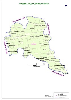 Wadagera Taluk Map | |
 Wadgera Location in Karnataka, India | |
| Coordinates: 16°35′11″N 77°05′54″E / 16.58639°N 77.09833°E | |
| Country | |
| State | Karnataka |
| District | Yadgir |
| Government | |
| • Type | Panchayati raj (India) |
| • Body | Taluka panchayat |
| Elevation | 383 m (1,257 ft) |
| Population (2001)[1] | |
| • Total | 7,349 |
| Languages | |
| • Official | Kannada |
| Time zone | UTC+5:30 (IST) |
| ISO 3166 code | IN-KA |
| Vehicle registration | KA 33 |
| Website | karnataka |
Wadgera is a taluka panchayat[2] in the southern state of Karnataka, India.[1][3] Administratively, Wadgera is in the Yadgir district in Karnataka. Wadgera is 23 km by road south of the City of Yadgir and 39 km by road southeast of the town of Shahapur. The nearest rail station is Yadgir and the nearest railhead is in Yadgir.[4]
Wadgera is new taluka centre announced in 2017 under congress government.[3]
Demographics[]
As of 2001 India census, Wadgera had a population of 7,349 with 3,652 males and 3,697 females.[1]
Education[]
The government pre-university college at wadagera has twice been shifted away to other locales.[5]
Industry[]
A 20 MW Solar power plant was constructed at wadgera in the 2018 by Mahindra susten pvt ltd. It was owned by Hero future energies ltd.
See also[]
- Yadgir district
- Districts of Karnataka
References[]
- ^ a b c 2001 Village code= 381600 "2001 Census of India: Villages with population 5000 & above". Registrar General & Census Commissioner, India. Retrieved 18 December 2008.
- ^ 2011 Village Panchayat Code = 221174, "Reports of National Panchayat Directory: Village Panchayat Names of, Yadgir, Karnataka". Ministry of Panchayati Raj, Government of India. Archived from the original on 27 February 2013.
- ^ a b 2011 Census Village code = 621193, "Reports of National Panchayat Directory: List of Census Villages mapped for: Wadgera Taluka Panchayat, Yadgir, Karnataka". Registrar General & Census Commissioner, India. Archived from the original on 21 April 2013.
- ^ "Yadgir District Map Showing Railway Line". Yadgir District. Archived from the original on 6 February 2013.
- ^ "Govt robs Yadgir to favour Sirsi". The Deccan Herald. 7 June 2011. Archived from the original on 3 July 2011.
External links[]
District HQ: Yadgir | |||||||
| Cities and towns | |||||||
| Villages and other settlements |
| ||||||
| Parks, reserves and places of interest | |||||||
Categories:
- Cities and towns in Yadgir district