A512 road
This article does not cite any sources. (December 2009) |
 | |
|---|---|
 | |
| Route information | |
| Length | 19 mi (31 km) |
| Major junctions | |
| East end | Loughborough |
| West end | A42 Junction 13 |
| Road network | |
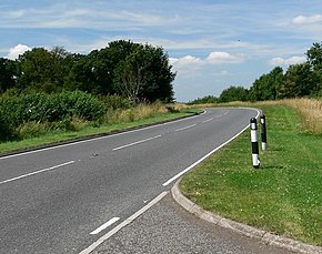
The A512 is an A road entirely in Leicestershire, UK. It links the primary destination of Loughborough with the M1, A42 road, and the town of Ashby de la Zouch.
The road begins just outside Loughborough Town Centre, near to The Rushes (52°46′21″N 1°12′28″W / 52.7724°N 1.2078°W). It heads out of town, crossing the A6004 Epinal Way and passing Loughborough University. On leaving the town, there is a short dual carriageway section, leading to the junction with Snells Nook Lane to Nanpanton and Woodhouse.
 WikiMiniAtlas
After this junction, the road returns to single carriageway for about 1 mile (1.6 km), to Junction 23 of the M1.
At this junction, much of the traffic from Loughborough turns off, and it is a much quieter A512 that enters Shepshed. After Shepshed, the road passes through Northern Charnwood Forest, near the villages of Peggs Green, Thringstone, Griffydam, Belton and Osgathorpe. Shortly before Ashby it passes Coleorton Hall on the right – a house which has played host to Scott, Wordsworth, Coleridge and others – now converted to apartments.
The road ends at the junction with the A42 and A511 (formerly the A50), on the edge of Ashby (52°44′57″N 1°26′44″W / 52.7491°N 1.4456°W).
The A512 is 11 miles (18 km) long, with the M1 junction 8 miles (13 km) from the southern end.
| Wikimedia Commons has media related to A512 road (England). |
A roads in Zone 5 of the Great Britain road numbering scheme | ||
|---|---|---|
Coordinates: 52°45′43″N 1°19′59″W / 52.762°N 1.333°W
This England road or road transport-related article is a stub. You can help Wikipedia by . |
- Roads in England
- Transport in Leicestershire
- England road stubs