Belvedere Crossing
This article needs additional citations for verification. (April 2016) |
| Overview | |
|---|---|
| Location | River Thames, East London |
| Coordinates | 51°30′27.01″N 0°9′46.46″E / 51.5075028°N 0.1629056°ECoordinates: 51°30′27.01″N 0°9′46.46″E / 51.5075028°N 0.1629056°E |
| Start | Belvedere / Thamesmead |
| End | Rainham / Dagenham |
| Operation | |
| Owner | Transport for London |
| Character | Motor vehicles, rail, cycles, pedestrians |
| Route map | |
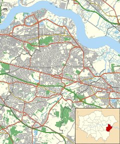 Belvedere Crossing (London Borough of Bexley) | |

The Belvedere Crossing is a proposed River Thames crossing in East London, running between Rainham in the London Borough of Havering and Belvedere/Thamesmead in the London Borough of Bexley. The proposed site is just downstream of the location for the Gallions Reach Crossing, and the two crossings are being developed in conjunction with each other by Transport for London.[1]
Design[]
Each crossing is expected to consist of two lanes in each direction – one for public transport and one for general traffic. There will be a charge for vehicles to use the crossings to manage demand and help pay for the scheme. Any pedestrian and cyclist facilities would be segregated from traffic. TfL is running a public consultation, and has suggested options for both bridge and tunnel crossings.
It is possible that the crossing could be integrated into the railway network, most likely by continuing the London Overground Gospel Oak to Barking Line extension to Barking Riverside, over/under the river via the new crossing, and connecting to national rail lines at Abbey Wood.[2]
See also[]
- List of crossings of the River Thames
- Silvertown Tunnel
- Gallions Reach Crossing
- Thames Gateway Bridge
- Thamesmead Extension Scheme
References[]
- ^ "Gallions Reach and Belvedere". Transport for London. Archived from the original on 19 April 2016. Retrieved 6 April 2016.
- ^ "London's First Highway: The East London River Crossings". London Reconnections. 8 June 2016. Retrieved 6 November 2019.
This article about transport in London is a stub. You can help Wikipedia by . |
- Bridges across the River Thames
- Proposed rail infrastructure in London
- Bridges and tunnels in London
- Proposed bridges in the United Kingdom
- London transport stubs