Bourg-sous-Châtelet
Bourg-sous-Châtelet | |
|---|---|
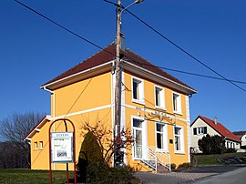 The town hall of Bourg-sous-Châtelet | |
 Coat of arms | |
show Location of Bourg-sous-Châtelet | |
 Bourg-sous-Châtelet | |
| Coordinates: 47°42′10″N 6°56′54″E / 47.7028°N 6.9483°ECoordinates: 47°42′10″N 6°56′54″E / 47.7028°N 6.9483°E | |
| Country | France |
| Region | Bourgogne-Franche-Comté |
| Department | Territoire de Belfort |
| Arrondissement | Belfort |
| Canton | Giromagny |
| Intercommunality | Vosges du Sud |
| Government | |
| • Mayor (2020–2026) | Armand Nawrot |
| Area 1 | 0.84 km2 (0.32 sq mi) |
| Population (Jan. 2018)[1] | 122 |
| • Density | 150/km2 (380/sq mi) |
| Time zone | UTC+01:00 (CET) |
| • Summer (DST) | UTC+02:00 (CEST) |
| INSEE/Postal code | 90016 /90110 |
| Elevation | 386–481 m (1,266–1,578 ft) |
| 1 French Land Register data, which excludes lakes, ponds, glaciers > 1 km2 (0.386 sq mi or 247 acres) and river estuaries. | |


Bourg-sous-Châtelet is a commune in the Territoire de Belfort department in Bourgogne-Franche-Comté in northeastern France.
See also[]
| Wikimedia Commons has media related to Bourg-sous-Châtelet. |
References[]
- ^ "Populations légales 2018". INSEE. 28 December 2020.
This Territoire de Belfort geographical article is a stub. You can help Wikipedia by . |
Categories:
- Communes of the Territoire de Belfort
- Territoire de Belfort geography stubs