Burekup, Western Australia
| Burekup Western Australia | |
|---|---|
 | |
| Population | 634 (2006 census)[1] |
| Established | 1973 |
| Postcode(s) | 6227 |
| Elevation | 23 m (75 ft) |
| Location |
|
| LGA(s) | Shire of Dardanup |
| State electorate(s) | Collie-Preston |
| Federal division(s) | Forrest |
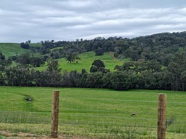
Burekup is a small town located on the South Western Highway in the South West region of Western Australia.
The town is built on the Collie River and was originally a railway siding on the Pinjarra- line that was established in 1910 and known at the time as Boorekup. Following a request from the Shire of Dardanup, the town was gazetted in 1973.[2]
"Burekup" is the Indigenous Australian name for a wildflower that grows in the area.
References[]
- ^ Australian Bureau of Statistics (25 October 2007). "Burekup (State Suburb)". 2006 Census QuickStats. Retrieved 5 October 2008.
- ^ "History of country town names – B". Western Australian Land Information Authority. Retrieved 5 October 2008.
Coordinates: 33°19′0″S 115°48′0″E / 33.31667°S 115.80000°E

Categories:
- Towns in Western Australia
- South West (Western Australia)