Christmas Creek Airport
This article needs additional citations for verification. (July 2012) |
Christmas Creek Airport | |||||||||||
|---|---|---|---|---|---|---|---|---|---|---|---|
| |||||||||||
| Summary | |||||||||||
| Airport type | Public | ||||||||||
| Location | , Western Australia | ||||||||||
| Elevation AMSL | 125 ft / 38 m | ||||||||||
| Coordinates | 22°21′15.5″S 119°38′31.1″E / 22.354306°S 119.641972°ECoordinates: 22°21′15.5″S 119°38′31.1″E / 22.354306°S 119.641972°E | ||||||||||
| Map | |||||||||||
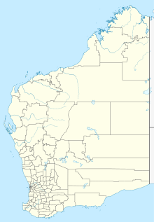 YCRK Location in Western Australia | |||||||||||
| Runways | |||||||||||
| |||||||||||

Christmas Creek Airport (IATA: CXQ, ICAO: YCRK) is an airport serving , in the Australian state of Western Australia.[1]
It is located in the Shire of Derby-West Kimberley, one of the four local government areas in the Kimberley region of northern Western Australia.
Facilities[]
The airport resides at an elevation of 125 ft (38 m) above sea level. It has one runway that is 1,100 m (3,609 ft) in length.[1]
See also[]
- List of airports in Western Australia
- Aviation transport in Australia
References[]
- ^ a b Airport information for CXQ / YCRK at Great Circle Mapper.
External links[]
This Western Australia airport related article is a stub. You can help Wikipedia by . |
Categories:
- Airports in Western Australia
- Kimberley (Western Australia)
- Western Australia airport stubs