Clonmel Island
 Clonmel Island | |
| Etymology | PS Clonmel |
|---|---|
| Geography | |
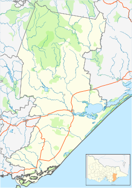
| Location | Bass Strait |
| Coordinates | 38°42′42″S 146°42′16″E / 38.7115278°S 146.7045833°ECoordinates: 38°42′42″S 146°42′16″E / 38.7115278°S 146.7045833°E |
| Administration | |
Australia | |
| State | Victoria |


Clonmel Island is a sand island in Corner Inlet, in the Gippsland region of Victoria, Australia. Clonmel Island lies within the and is part of a complex of barrier islands that protect a large marine embayment from the pounding waves of Bass Strait.[1]
History[]
The island is named after the paddle steamer PS Clonmel which was wrecked in the Port Albert Entrance to Corner Inlet, immediately east of the island, in 1841.[2]
References[]
- ^ "Nooramunga and Corner Inlet Marine and Coastal Parks" (PDF), Park Notes, Parks Victoria, August 2012, retrieved 11 April 2015
- ^ "PS Clonmel Victorian Heritage Register (VHR) Number S129". Victorian Heritage Database. Heritage Victoria.
| Near East Gippsland | |
|---|---|
| Near Corner Inlet | |
| Near Wilsons Promontory | |
| In Western Port | |
| In Port Phillip | |
| Near Portland Bay | |
| In rivers | |
| |
This article about a location in Gippsland (region) is a stub. You can help Wikipedia by . |
Categories:
- Islands of Victoria (Australia)
- Gippsland
- Gippsland geography stubs