Duravel
Duravel | |
|---|---|
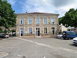 The town hall in Duravel | |
 Coat of arms | |
show Location of Duravel | |
 Duravel | |
| Coordinates: 44°31′02″N 1°04′50″E / 44.5172°N 1.0806°ECoordinates: 44°31′02″N 1°04′50″E / 44.5172°N 1.0806°E | |
| Country | France |
| Region | Occitanie |
| Department | Lot |
| Arrondissement | Cahors |
| Canton | Puy-l'Évêque |
| Intercommunality | |
| Government | |
| • Mayor (2020–2026) | Gérard Calassou |
| Area 1 | 14.97 km2 (5.78 sq mi) |
| Population (Jan. 2018)[1] | 957 |
| • Density | 64/km2 (170/sq mi) |
| Time zone | UTC+01:00 (CET) |
| • Summer (DST) | UTC+02:00 (CEST) |
| INSEE/Postal code | 46089 /46700 |
| Elevation | 65–271 m (213–889 ft) (avg. 88 m or 289 ft) |
| 1 French Land Register data, which excludes lakes, ponds, glaciers > 1 km2 (0.386 sq mi or 247 acres) and river estuaries. | |


Duravel (French pronunciation: [dyʁavɛl]; Occitan: Duravèl) is a commune in the Lot department in south-western France.
See also[]
- Communes of the Lot department
References[]
- ^ "Populations légales 2018". INSEE. 28 December 2020.
| Wikimedia Commons has media related to Duravel. |
| show Communes of the Lot department |
|---|
This Lot geographical article is a stub. You can help Wikipedia by . |
Categories:
- Communes of Lot (department)
- Lot (department) geography stubs