Ellé
| Ellé | |
|---|---|
 | |
| Location | |
| Country | France |
| Physical characteristics | |
| Source | |
| • location | Brittany |
| Mouth | |
• location | Laïta |
• coordinates | 47°52′15″N 3°32′43″W / 47.87083°N 3.54528°WCoordinates: 47°52′15″N 3°32′43″W / 47.87083°N 3.54528°W |
| Length | 59 km (37 mi) |

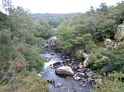
The Ellé (French pronunciation: [ɛle]) is a river in the region of Brittany, western France.[1] Its source is south of the town Rostrenen, in the south-west of the department Côtes-d'Armor. The Ellé flows southwest through the following départements and towns:
At the town of Quimperlé it is joined by the Isole to form the Laïta that flows into the Atlantic Ocean at Le Pouldu. Combined with the Laïta, the river is 76 km (47 mi) long.[1]
References[]
| Authority control |
|
|---|
This Brittany geographical article is a stub. You can help Wikipedia by . |
Categories:
- Coastal basins of the Bay of Biscay
- Rivers of France
- Rivers of Brittany
- Rivers of Côtes-d'Armor
- Rivers of Morbihan
- Rivers of Finistère
- Brittany geography stubs
- France river stubs