Ferrensac
Ferrensac | |
|---|---|
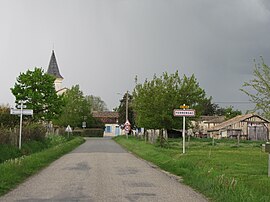 The road into Ferrensac | |
show Location of Ferrensac | |
 Ferrensac | |
| Coordinates: 44°38′32″N 0°37′56″E / 44.6422°N 0.6322°ECoordinates: 44°38′32″N 0°37′56″E / 44.6422°N 0.6322°E | |
| Country | France |
| Region | Nouvelle-Aquitaine |
| Department | Lot-et-Garonne |
| Arrondissement | Villeneuve-sur-Lot |
| Canton | Le Val du Dropt |
| Government | |
| • Mayor (2020–2026) | Jean-Pierre Paillé |
| Area 1 | 12.32 km2 (4.76 sq mi) |
| Population (Jan. 2018)[1] | 207 |
| • Density | 17/km2 (44/sq mi) |
| Time zone | UTC+01:00 (CET) |
| • Summer (DST) | UTC+02:00 (CEST) |
| INSEE/Postal code | 47096 /47330 |
| Elevation | 65–151 m (213–495 ft) (avg. 77 m or 253 ft) |
| 1 French Land Register data, which excludes lakes, ponds, glaciers > 1 km2 (0.386 sq mi or 247 acres) and river estuaries. | |


Ferrensac (French pronunciation: [fɛʁɑ̃sak]; Languedocien: Ferrançac) is a commune in the Lot-et-Garonne department in south-western France.
See also[]
References[]
- ^ "Populations légales 2018". INSEE. 28 December 2020.
| Wikimedia Commons has media related to Ferrensac. |
This Lot-et-Garonne geographical article is a stub. You can help Wikipedia by . |
Categories:
- Communes of Lot-et-Garonne
- Lot-et-Garonne geography stubs