Klabava
Klabava | |
|---|---|
Municipality | |
 Houses in the village | |
 Flag  Coat of arms | |
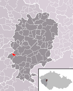 Location in Rokycany District | |
 Klabava Location in the Czech Republic | |
| Coordinates: 49°45′28″N 13°32′14″E / 49.75778°N 13.53722°ECoordinates: 49°45′28″N 13°32′14″E / 49.75778°N 13.53722°E | |
| Country | |
| Region | Plzeň |
| District | Rokycany |
| Area | |
| • Total | 1.54 km2 (0.59 sq mi) |
| Elevation | 379 m (1,243 ft) |
| Population (2015-01-01) | |
| • Total | 461 |
| • Density | 300/km2 (780/sq mi) |
| Postal code | 338 41 |
| Website | http://www.klabava.eu |

Klabava is a village and municipality (obec) in Rokycany District in the Plzeň Region of the Czech Republic. The municipality covers an area of 1.54 square kilometres (0.59 sq mi), and has a population of 419 (as at 28 August 2006). Klabava lies approximately 4 kilometres (2 mi) west of Rokycany, 12 km (7 mi) east of Plzeň, and 74 km (46 mi) south-west of Prague.
Transport[]
The municipality is located on a train line leading from Prague to Pilsen. There is a train station which is served by regional trains.
References[]
![]() Klabava travel guide from Wikivoyage
Klabava travel guide from Wikivoyage
| Authority control: National libraries |
|---|
This Plzeň Region location article is a stub. You can help Wikipedia by . |
Categories:
- Villages in Rokycany District
- Plzeň Region geography stubs