Krueng Cunda River
| Krueng Cunda River | |
|---|---|
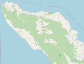 Location of river mouth | |
| Location | |
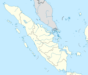
| Country | Indonesia |
| Province | Aceh |
| City | Lhokseumawe |
| Website https://bappeda.lhokseumawekota.go.id | |

Krueng Cunda River is a river in Aceh on Sumatra island, in Indonesia, about 1700 km northwest of the capital Jakarta.[1] It forms a strait separating the main part of Lhokseumawe from the island of Sumatra.
Geography[]
The river flows in the northern area of Sumatra with predominantly tropical rainforest climate (designated as Af in the Köppen-Geiger climate classification).[2] The annual average temperature in the area is 25 °C. The warmest month is August, when the average temperature is around 26 °C, and the coldest is December, at 22 °C.[3] The average annual rainfall is 2568 mm. The wettest month is December, with an average of 572 mm rainfall, and the driest is March, with 114 mm rainfall.[4]
See also[]
References[]
- ^ Krueng Cunda at Geonames.org (cc-by); Last updated 2013-06-04; Database dump downloaded 2015-11-27
- ^ Peel, M C; Finlayson, B L; McMahon, T A (2007). "Updated world map of the Köppen-Geiger climate classification". Hydrology and Earth System Sciences. 11 (5): 1633–1644. Bibcode:2007HESS...11.1633P. doi:10.5194/hess-11-1633-2007. Retrieved 30 January 2016.
- ^ "NASA Earth Observations Data Set Index". NASA. 30 January 2016.
- ^ "NASA Earth Observations: Rainfall (1 month - TRMM)". NASA/Tropical Rainfall Monitoring Mission. 30 January 2016.
Coordinates: 5°13′00″N 97°07′05″E / 5.2166°N 97.118°E

External links[]
- (in Indonesian) Bappeda Kota Lhokseumawe
- (in Indonesian) Facebook Link Kota Lhokseumawe
- Rivers of Aceh
- Rivers of Indonesia