Tripa River
| Tripa River Krueng Tripa, Sungai Tripa, Tripa-rivier, Tripo, Krueng Teripa | |
|---|---|
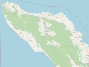 Location of river mouth | |
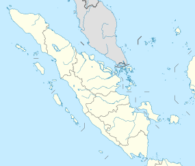
| Location | |
| Country | Indonesia |
| Physical characteristics | |
| Source | |
| • location | Aceh, Sumatra |

Tripa River is a river in the province of Aceh, northern Sumatra island, Indonesia, about 1600 km northwest of the capital Jakarta.[1][2]
Geography[]
The river flows in the northern area of Sumatra with predominantly tropical rainforest climate (designated as Af in the Köppen-Geiger climate classification).[3] The annual average temperature in the area is 23 °C. The warmest month is January, when the average temperature is around 24 °C, and the coldest is August, at 22 °C.[4] The average annual rainfall is 4124 mm. The wettest month is November, with an average of 541 mm rainfall, and the driest is July, with 193 mm rainfall.[5]
See also[]
References[]
- ^ Rand McNally, The New International Atlas, 1993.
- ^ Krueng Tripa at Geonames.org (cc-by); Last updated 2013-06-04; Database dump downloaded 2015-11-27
- ^ Peel, M C; Finlayson, B L; McMahon, T A (2007). "Updated world map of the Köppen-Geiger climate classification". Hydrology and Earth System Sciences. 11 (5): 1633–1644. doi:10.5194/hess-11-1633-2007. Retrieved 30 January 2016.
- ^ "NASA Earth Observations Data Set Index". NASA. 30 January 2016.
- ^ "NASA Earth Observations: Rainfall (1 month - TRMM)". NASA/Tropical Rainfall Monitoring Mission. 30 January 2016.

Categories:
- Rivers of Aceh
- Rivers of Indonesia