Lesser Slave Lake Provincial Park
| Lesser Slave Lake Provincial Park | |
|---|---|
IUCN category IV (habitat/species management area) | |
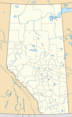 Location of Lesser Slave Lake Provincial Park in Canada | |
| Location | Municipal District of Lesser Slave River No. 124, Alberta, Canada |
| Nearest city | Slave Lake |
| Coordinates | 55°24′44″N 114°48′49″W / 55.41222°N 114.81361°WCoordinates: 55°24′44″N 114°48′49″W / 55.41222°N 114.81361°W |
| Area | 77 km2 (30 sq mi) |
| Established | June 29, 1966 |
| Governing body | Alberta Tourism, Parks and Recreation |

Lesser Slave Lake Provincial Park is a provincial park and birdwatching area located in north-central Alberta, Canada.
The park is located on the north-eastern shore of the Lesser Slave Lake (while Hilliard's Bay Provincial Park, Lesser Slave Lake Wildland and Grouard Trail Park Reserve stand on the north-western shore), 12 km north from the town of Slave Lake on Highway 88.
- Marten Mountain Viewpoint (983 metres) overlooks the lake.
- The Boreal Centre for Bird Conservation, an education and research centre, is located in the park. The centre is a transit place for more than 246 bird species (including 23 species of wood warblers).
See also[]
- List of provincial parks in Alberta
- List of Canadian provincial parks
- List of National Parks of Canada
External links[]

This Alberta protected areas related article is a stub. You can help Wikipedia by . |
Categories:
- IUCN Category IV
- Municipal District of Lesser Slave River No. 124
- Provincial parks of Alberta
- Nature centres in Canada
- Alberta protected area stubs